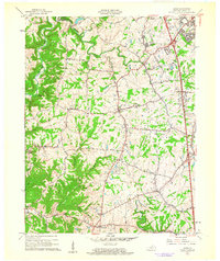
1961 Map of Union
USGS Topo · Published 1962About this map
Big Bone State Park and the winding course of Gunpowder Creek define the geography of Boone County in the early 1960s. This survey captures a transitional landscape where established crossroads and rural hamlets like Sugartit and Hueys Corners remain distinct from the northward expansion of Florence. The northeastern corner reveals the footprint of Hopeful Heights, while the Southern railroad corridor supports small stations at Richwood and Fullers. Cultural and community life is anchored by local landmarks such as Big Bone Ch and New Haven Ch, alongside the Kentucky Raceway and recreational sites like Camp Ernst. The intricate creek systems, including Mud Lick Creek and South Fork Gunpowder Creek, carve through the terrain, illustrating the historical reliance on these waterways for early land division and road placement.
Find a feature on this map
40 named features on this map. Tap any name to fly to it.
Don’t see what you’re looking for? This feature index may not catch every label — zoom into the map to look around manually.
Map Details
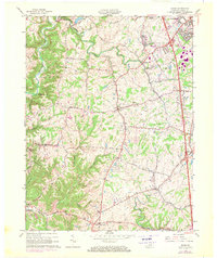
Editions of this 1961 Union Map
2 editions found
Other maps of this area

1914 · West Cincinnati
USGS Topo · 1:62,500

1915 · Lawrenceburg
USGS Topo · 1:48,000

1928 · Lawrenceburg
USGS Topo · 1:62,500

1932 · Lawrenceburg
USGS Topo · 1:62,500

1943 · Rising Sun
USGS Topo · 1:24,000

1943 · Lawrenceburg
USGS Topo · 1:24,000

1943 · Patriot
USGS Topo · 1:24,000

1950 · Union
USGS Topo · 1:24,000

1950 · Independence
USGS Topo · 1:24,000

1950 · Verona
USGS Topo · 1:24,000