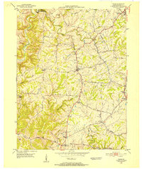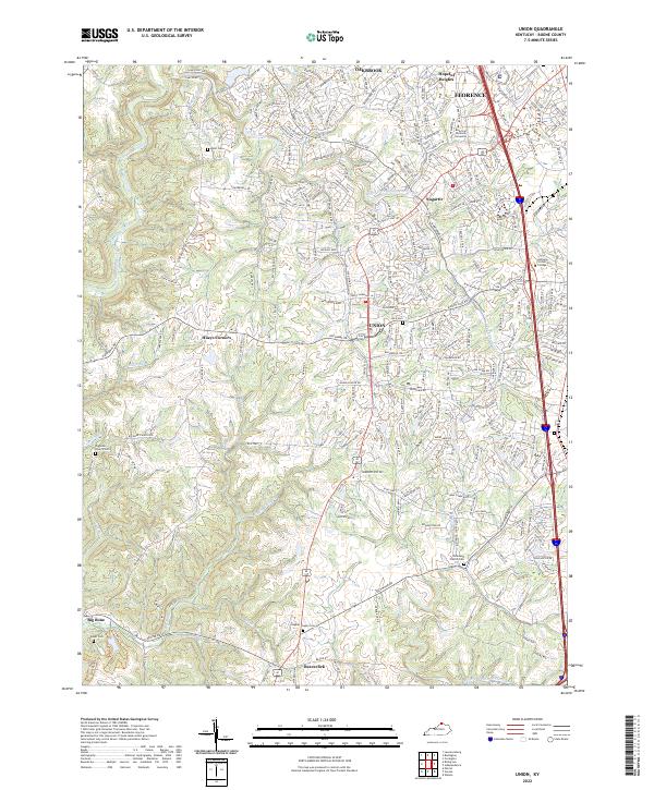
1955 Map of Union
USGS Topo · Published 1956About this map
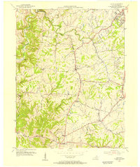
Gunpowder Creek and its southern fork wind through the dissected uplands of Boone County, anchoring a mid-century landscape of small settlements and rural institutions. The map documents the established community of Union and the uniquely named Sugartit, connected by a network of local thoroughfares like Hicks Pike and Rice Pike. To the northeast, Florence shows early signs of expansion along the Dixie Highway and the Southern railroad line, while the western reaches remain more secluded, marked by terrain features such as Dark Hollow and Riddles Run.
Find a feature on this map
39 named features on this map. Tap any name to fly to it.
Don’t see what you’re looking for? This feature index may not catch every label — zoom into the map to look around manually.
Map Details
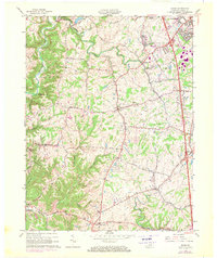
Editions of this 1955 Union Map
This is the sole edition of this map. No revisions or reprints were ever made.
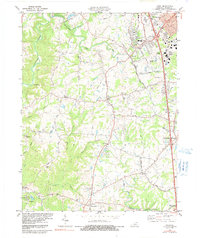
Historical Maps of Florence Through Time
9 maps found