Loading...
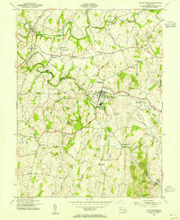
Loading map...1953 Map of Union Bridge
USGS Topo · Published 1955About this map
Union Bridge and its surrounding countryside in the 1950s are defined by the convergence of the Pennsylvania and Western Maryland railroads along the banks of Little Pipe Creek. This central Maryland landscape is shaped by productive valleys and early industry, featuring a high density of water-powered infrastructure such as Crouse Mill, Otterdale Mill, and Simpsons Mill. The rural heritage of the region is evident in the numerous small settlements and family farmsteads, including Walden Farms and Middleburg.
Find a feature on this map
64 named features on this map. Tap any name to fly to it.
Don’t see what you’re looking for? This feature index may not catch every label — zoom into the map to look around manually.
Map Details
Date Portrayed1953
Date Published1955
PublisherU.S. Geological Survey
Map TypeTopographic
Scale1:24000
Physical Dimensions21.9 x 26.7 inches
Editions of this 1953 Union Bridge Map
3 editions found
Historical Maps of West View Terrace Through Time
3 maps found

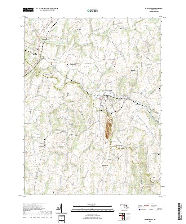
Featured Locations
Source Details
SourceU.S. Geological Survey
CopyrightPublic Domain