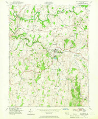
1953 Map of Union Bridge
USGS Topo · Published 1966About this map
Union Bridge serves as the industrial and transit hub of this rural landscape, situated at the crossing of the Pennsylvania RR and the Western Maryland RR. The surrounding terrain, split by the Carroll Co Frederick Co line, is defined by the winding course of Big Pipe Creek and its many tributaries, which powered a network of local industry. Historic milling sites such as Otterdale Mill, Simpsons Mill, and McKinstrys Mill are scattered along these watercourses, reflecting an economy deeply tied to the land. Educational and spiritual life centers on landmarks like the Elmer Wolf High Sch and Bowens Chapel, while the presence of a Copper Mine near Johnsville points to the region's diverse natural resources. The map also traces the rural settlement patterns of the mid-20th century in hamlets like Keymar, Middleburg, and Linwood.
Find a feature on this map
52 named features on this map. Tap any name to fly to it.
Don’t see what you’re looking for? This feature index may not catch every label — zoom into the map to look around manually.
Map Details
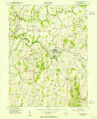
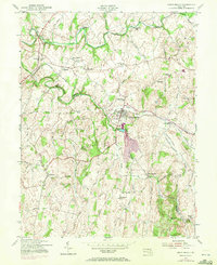
Editions of this 1953 Union Bridge Map
3 editions found
Other maps of this area

1893 · Frederick
USGS Topo · 1:125,000

1894 · Frederick
USGS Topo · 1:125,000

1908 · Ijamsville
USGS Topo · 1:62,500

1909 · Mount Airy
USGS Topo · 1:62,500

1909 · Ijamsville
USGS Topo · 1:62,500

1911 · Taneytown
USGS Topo · 1:62,500

1911 · Emmitsburg
USGS Topo · 1:62,500

1942 · Frederick
USGS Topo · 1:62,500

1942 · Gettysburg
USGS Topo · 1:125,000

1943 · Emmitsburg
USGS Topo · 1:62,500