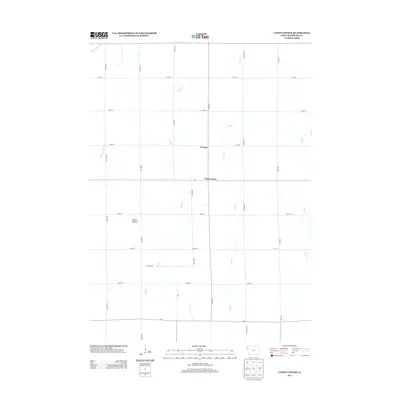
2013 Map of Union Center
USGS Topo · Published 2013About this map
Union Center and the small settlement of O'Leary anchor this agricultural landscape in Plymouth County, reflecting the deep-rooted grid system of Iowa's farmland. The territory is defined by a rhythmic network of section roads like Nature Ave and Polk Ave, which carve the prairie into productive plots. This 2013 survey illustrates how modern drainage and topography interact, with Mud Cr and its various tributaries, such as Dry Br, winding through the terrain. The presence of O'Brien Prairie suggests a preserved or recognized natural feature amidst the vast network of county routes, including c44 and c60. For those researching local family farms or township geography, the map provides precise locations for these intersections and watercourses, including Big Whisky Cr and Johns Cr on the eastern edge.
Find a feature on this map
26 named features on this map. Tap any name to fly to it.
Don’t see what you’re looking for? This feature index may not catch every label — zoom into the map to look around manually.
Map Details
Editions of this 2013 Union Center Map
This is the sole edition of this map. No revisions or reprints were ever made.
Other maps of this area

1954 · Fort Dodge
USGS Topo · 1:250,000
1955 · Sioux City
USGS Topo · 1:250,000
1957 · Fort Dodge
USGS Topo · 1:250,000
1958 · Sioux City
USGS Topo · 1:250,000
1958 · Fort Dodge
USGS Topo · 1:250,000
1959 · Sioux City
USGS Topo · 1:250,000
1962 · Le Mars
USGS Topo · 1:62,500
1962 · Union Center
USGS Topo · 1:62,500
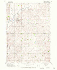
1969 · Kingsley
USGS Topo · 1:24,000
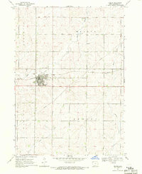
1969 · Remsen
USGS Topo · 1:24,000