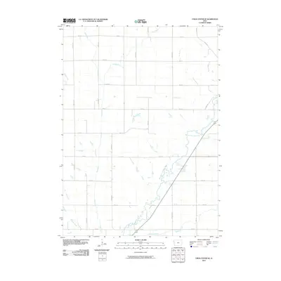
2010 Map of Union Center SE
USGS Topo · Published 2010About this map
The West Fork Little Sioux River meanders through this agricultural landscape in Woodbury County, defining the drainage patterns of the region alongside tributaries like Mud Creek and McElhaney Creek. The terrain is characterized by a precise rectilinear grid of section roads, including arterial routes such as Co Rd C66 and Quarry Rd, which facilitate the movement of goods in this rural Iowa corridor.
Find a feature on this map
27 named features on this map. Tap any name to fly to it.
Don’t see what you’re looking for? This feature index may not catch every label — zoom into the map to look around manually.
Map Details
Editions of this 2010 Union Center SE Map
This is the sole edition of this map. No revisions or reprints were ever made.
Other maps of this area

1954 · Fort Dodge
USGS Topo · 1:250,000

1955 · Sioux City
USGS Topo · 1:250,000

1957 · Fort Dodge
USGS Topo · 1:250,000

1958 · Sioux City
USGS Topo · 1:250,000

1958 · Fort Dodge
USGS Topo · 1:250,000

1959 · Sioux City
USGS Topo · 1:250,000

1962 · Union Center
USGS Topo · 1:62,500

1964 · Lawton
USGS Topo · 1:24,000

1964 · Moville
USGS Topo · 1:24,000

1969 · Correctionville NW
USGS Topo · 1:24,000