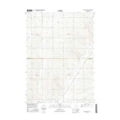
2015 Map of Union Center SE
USGS Topo · Published 2015About this map
The West Fork Little Sioux River carves a path through the agricultural borderlands of Plymouth and Woodbury Counties, defining the drainage patterns for this section of northwestern Iowa. This area is characterized by a dense network of sectional roads and natural waterways, including the winding Mud Cr and McElhaney Cr. The landscape is etched with smaller tributaries like Dry Br, which cut through the land between major thoroughfares such as Co Rd C64 and Co Hwy D18. These routes, along with local tracks like Quarry Rd, trace the township lines of t90n r44w and t89n r44w. The map provides a clear view of the rural infrastructure and land divisions that have organized this farming region for generations.
Find a feature on this map
37 named features on this map. Tap any name to fly to it.
Don’t see what you’re looking for? This feature index may not catch every label — zoom into the map to look around manually.
Map Details
Editions of this 2015 Union Center SE Map
This is the sole edition of this map. No revisions or reprints were ever made.
Other maps of this area

1954 · Fort Dodge
USGS Topo · 1:250,000
1955 · Sioux City
USGS Topo · 1:250,000
1957 · Fort Dodge
USGS Topo · 1:250,000
1958 · Sioux City
USGS Topo · 1:250,000
1958 · Fort Dodge
USGS Topo · 1:250,000
1959 · Sioux City
USGS Topo · 1:250,000
1962 · Union Center
USGS Topo · 1:62,500
1964 · Lawton
USGS Topo · 1:24,000
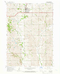
1964 · Moville
USGS Topo · 1:24,000
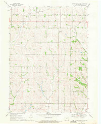
1969 · Correctionville NW
USGS Topo · 1:24,000