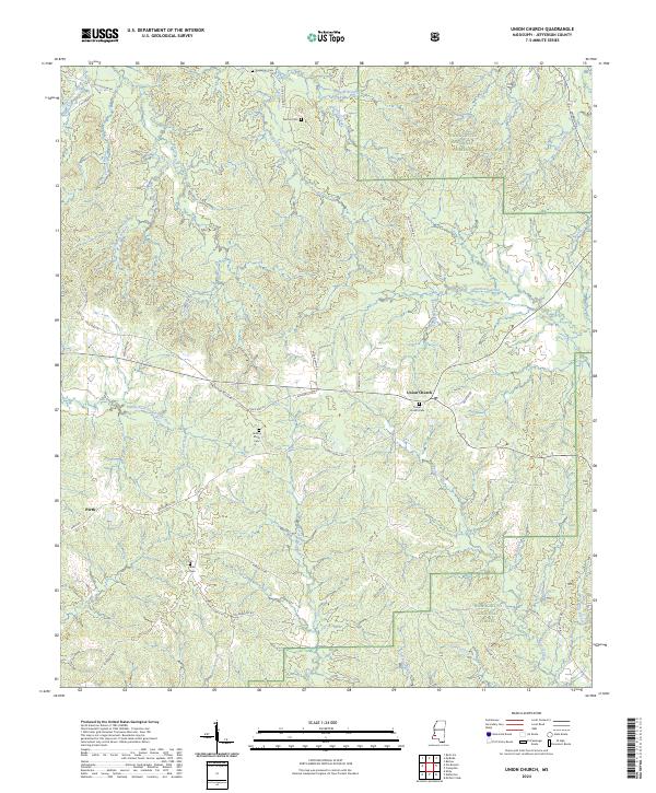
2024 Map of Union Church
USGS Topo · Published 2024About this map
Union Church and the smaller settlement of Perth anchor this portion of Jefferson County, where the agricultural landscape meets the wooded reaches of the Homochitto National Forest. The topography is defined by the winding course of the Middle Fork Homochitto River and its numerous tributaries, including Foster Creek and Hurricane Creek. This modern survey reveals a community deeply rooted in its local geography, with several family and community burial grounds such as Buie Cem, Norton Cem, and Hickory Block Cem distributed across the countryside. The road network, including Old Hwy 20 and Union Church Rd, traces the ridges between drainage basins like Clarks Creek and Blue Goose Creek, illustrating how the historic settlement pattern was dictated by the area's complex system of creeks and branches.
Find a feature on this map
60 named features on this map. Tap any name to fly to it.
Don’t see what you’re looking for? This feature index may not catch every label — zoom into the map to look around manually.
Map Details
Editions of this 2024 Union Church Map
This is the sole edition of this map. No revisions or reprints were ever made.
Other maps of this area

1953 · Natchez
USGS Topo · 1:250,000

1956 · Natchez
USGS Topo · 1:250,000

1959 · Natchez
USGS Topo · 1:250,000

1963 · Red Lick
USGS Topo · 1:24,000

1963 · Union Church
USGS Topo · 1:62,500

1963 · McBride
USGS Topo · 1:24,000

1963 · Barlow
USGS Topo · 1:24,000

1972 · McCall Creek
USGS Topo · 1:24,000

1972 · Caseyville
USGS Topo · 1:24,000

1984 · Brookhaven
USGS Topo · 1:100,000