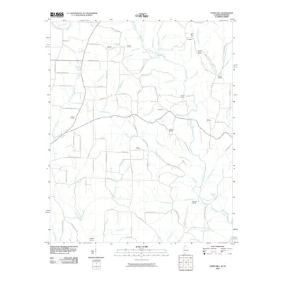
2010 Map of Union Hill
USGS Topo · Published 2010About this map
Lester anchors the northeast corner of this landscape, where the Lester Post Office serves a rural network of family-named roads and cemeteries. The terrain is defined by a dense web of watercourses, including the Bridgeforth Branch and Sugar Creek, which are segmented by elevations like Hickory Ridge. The presence of numerous small burial grounds, such as Hesters Chapel Cemetery, McCravy Cemetery, and Union Hill Cemetery, provides significant data for genealogists tracing local families across the Alabama-Tennessee borderlands. Transportation patterns follow natural contours, with routes like County Line Rd and Lauderdale County 518 connecting scattered farmsteads. Engineered features like Enon Dam and named springs such as Gray Spring and Band Mill Spring indicate the long-standing importance of water management in this agricultural and timber-producing region.
Find a feature on this map
92 named features on this map. Tap any name to fly to it.
Don’t see what you’re looking for? This feature index may not catch every label — zoom into the map to look around manually.
Map Details
Editions of this 2010 Union Hill Map
This is the sole edition of this map. No revisions or reprints were ever made.
Other maps of this area

1914 · Rogersville
USGS Topo · 1:48,000

1916 · Rogersville
USGS Topo · 1:62,500

1936 · Union Hill
USGS Topo · 1:24,000

1936 · Aspen Hill
USGS Topo · 1:24,000

1936 · Thorntontown
USGS Topo · 1:24,000

1936 · Lexington
USGS Topo · 1:24,000

1936 · Ripley
USGS Topo · 1:24,000

1936 · Appleton
USGS Topo · 1:24,000

1936 · Cairo
USGS Topo · 1:24,000

1936 · Bonnertown
USGS Topo · 1:24,000