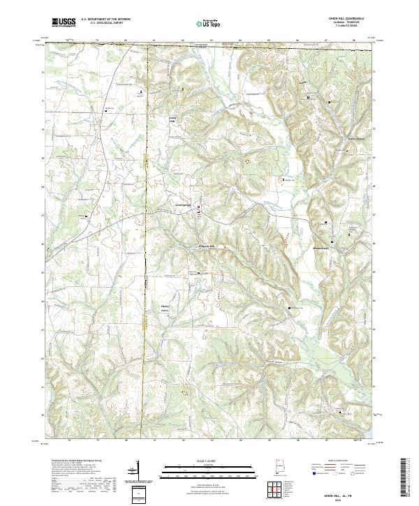
2024 Map of Union Hill
USGS Topo · Published 2024About this map
Sugar Creek and its many tributaries, including McConnell Branch and Dobbins Branch, carve through this landscape along the Alabama-Tennessee border. The settlement of Union Hill serves as a central point in a network of rural communities such as Good Springs, Mount Rozell, and the uniquely named Scarce Grease. The map is particularly rich in genealogical data, preserving the locations of numerous family and community burial grounds like McCravy Cem, Roden Cem, and Hesters Chapel Cem.
Find a feature on this map
132 named features on this map. Tap any name to fly to it.
Don’t see what you’re looking for? This feature index may not catch every label — zoom into the map to look around manually.
Map Details
Editions of this 2024 Union Hill Map
This is the sole edition of this map. No revisions or reprints were ever made.
Other maps of this area

1914 · Rogersville
USGS Topo · 1:48,000

1916 · Rogersville
USGS Topo · 1:62,500

1936 · Union Hill
USGS Topo · 1:24,000

1936 · Aspen Hill
USGS Topo · 1:24,000

1936 · Thorntontown
USGS Topo · 1:24,000

1936 · Lexington
USGS Topo · 1:24,000

1936 · Ripley
USGS Topo · 1:24,000

1936 · Appleton
USGS Topo · 1:24,000

1936 · Cairo
USGS Topo · 1:24,000

1936 · Bonnertown
USGS Topo · 1:24,000