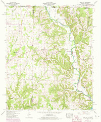
1948 Map of Union Hill
USGS Topo · Published 1973About this map
Sugar Creek winds through this rural landscape at the intersection of Alabama and Tennessee, defining a region where small communities like Lester and Union Hill anchored the local economy. The terrain is marked by numerous family-named landmarks and historical infrastructure, including Ridgway Mill and the Band Mill Spring near the southern boundary. This 1948 survey, photorevised in the 1970s, preserves the locations of local gathering places such as Hester Chapel, Bethel Ch, and the Powell Sch which served the surrounding farming families.
Find a feature on this map
43 named features on this map. Tap any name to fly to it.
Don’t see what you’re looking for? This feature index may not catch every label — zoom into the map to look around manually.
Map Details
Editions of this 1948 Union Hill Map
This is the sole edition of this map. No revisions or reprints were ever made.
Other maps of this area

1914 · Rogersville
USGS Topo · 1:48,000

1916 · Rogersville
USGS Topo · 1:62,500

1936 · Union Hill
USGS Topo · 1:24,000

1936 · Aspen Hill
USGS Topo · 1:24,000

1936 · Thorntontown
USGS Topo · 1:24,000

1936 · Lexington
USGS Topo · 1:24,000

1936 · Ripley
USGS Topo · 1:24,000

1936 · Appleton
USGS Topo · 1:24,000

1936 · Cairo
USGS Topo · 1:24,000

1936 · Bonnertown
USGS Topo · 1:24,000