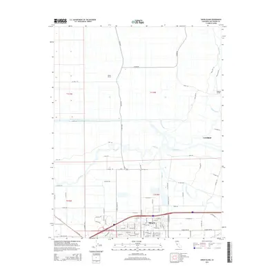
2015 Map of Union Island
USGS Topo · Published 2015About this map
Union Island and Roberts Island define this segment of the San Joaquin Delta, where a complex network of waterways manages the flow of the Central Valley. The landscape is dominated by engineering feats like the Grant-Line Canal and the Fabian and Bell Canal, which parallel each other to the north of the growing city of Tracy. To the east, the community of Lathrop sits near the winding paths of the Old River and Paradise Cut. This 2015 survey illustrates how traditional agriculture and water management coexist with expanding urban infrastructure. The dense grid of rural roads, such as Howard Rd and Tracy Blvd, follows the historical section lines of the Public Land Survey System, while natural features like Tom Paine Slough and Salmon Slough still meander through the delta lowlands.
Find a feature on this map
89 named features on this map. Tap any name to fly to it.
Don’t see what you’re looking for? This feature index may not catch every label — zoom into the map to look around manually.
Map Details
Editions of this 2015 Union Island Map
This is the sole edition of this map. No revisions or reprints were ever made.
Other maps of this area

1907 · Tesla
USGS Topo · 1:62,500

1913 · Woodward Island
USGS Topo · 1:31,680

1913 · Stockton
USGS Topo · 1:31,680

1913 · Holt
USGS Topo · 1:31,680

1914 · Bethany
USGS Topo · 1:31,680

1914 · Union Island
USGS Topo · 1:31,680

1915 · Vernalis
USGS Topo · 1:31,680

1915 · Lathrop
USGS Topo · 1:31,680

1916 · Byron
USGS Topo · 1:62,500

1916 · Tracy
USGS Topo · 1:31,680