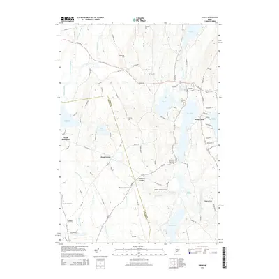
2014 Map of Union
USGS Topo · Published 2014About this map
Union and South Union serve as the primary hubs in this inland Maine landscape, situated along a chain of significant water bodies including Sennebec Pond, Seven Tree Pond, and Crawford Pond. The territory is defined by a dense network of historic crossroads, each marked by family-named landmarks like Manks Corner, Whitney Corner, and Benner Corner. These intersections, alongside the Knox Co Lincoln Co boundary line, reflect a long-standing pattern of rural settlement where small communities formed around key junctions and local resources.
Find a feature on this map
97 named features on this map. Tap any name to fly to it.
Don’t see what you’re looking for? This feature index may not catch every label — zoom into the map to look around manually.
Map Details
Editions of this 2014 Union Map
This is the sole edition of this map. No revisions or reprints were ever made.
Other maps of this area

1904 · Rockland
USGS Topo · 1:62,500

1906 · Rockland
USGS Topo · 1:62,500

1913 · Waldoboro
USGS Topo · 1:48,000

1915 · Waldoboro
USGS Topo · 1:62,500

1915 · Belfast
USGS Topo · 1:62,500

1916 · Liberty
USGS Topo · 1:62,500

1917 · Belfast
USGS Topo · 1:62,500

1941 · Belfast
USGS Topo · 1:62,500

1941 · Rockland
USGS Topo · 1:62,500

1941 · Waldoboro
USGS Topo · 1:62,500