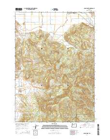
2014 Map of Union Point
USGS Topo · Published 2014About this map
Union Point and Crawfordsville anchor the northern reaches of this terrain, where the Calapooia River winds past the McKercher Bridge. The landscape transitions from the relatively level agricultural lands near Gap Rd into the high relief of the southern hills. Elevations rise sharply toward Bald Mtn and Horse Rock, which tower over the surrounding drainages of Tub Run and Pierce Cr.
Find a feature on this map
35 named features on this map. Tap any name to fly to it.
Don’t see what you’re looking for? This feature index may not catch every label — zoom into the map to look around manually.
Map Details
Editions of this 2014 Union Point Map
This is the sole edition of this map. No revisions or reprints were ever made.
Other maps of this area
1909 · Rowland
USGS Topo · 1:31,680
1910 · Eugene
USGS Topo · 1:62,500
1911 · Brownsville
USGS Topo · 1:31,680
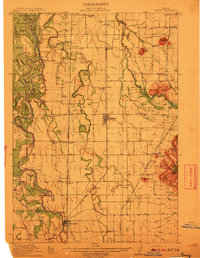
1912 · Halsey
USGS Topo · 1:62,500
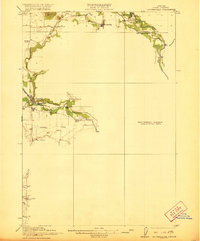
1921 · Brownsville
USGS Topo · 1:62,500
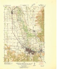
1940 · Eugene
USGS Topo · 1:62,500
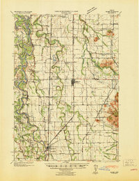
1941 · Halsey
USGS Topo · 1:62,500
1946 · Eugene
USGS Topo · 1:62,500
1949 · Eugene
USGS Topo · 1:62,500
1950 · Marcola
USGS Topo · 1:62,500