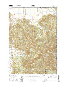
2017 Map of Union Point
USGS Topo · Published 2017About this map
The Calapooia River meanders through the northeastern corner of this terrain, where the settlement of Crawfordsville sits near the historic McKercher Bridge. The landscape transitions from the river lowlands into the high elevations of the Willamette Valley’s eastern margin, defined by prominent heights like Bald Mtn, Horse Rock, and the length of Cougar Ridge. This 2017 survey details the complex network of drainage basins, including Courtney Cr, Tub Run, and Shotgun Cr, which carve through the timbered uplands.
Find a feature on this map
35 named features on this map. Tap any name to fly to it.
Don’t see what you’re looking for? This feature index may not catch every label — zoom into the map to look around manually.
Map Details
Editions of this 2017 Union Point Map
This is the sole edition of this map. No revisions or reprints were ever made.
Other maps of this area
1909 · Rowland
USGS Topo · 1:31,680
1910 · Eugene
USGS Topo · 1:62,500
1911 · Brownsville
USGS Topo · 1:31,680
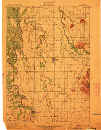
1912 · Halsey
USGS Topo · 1:62,500
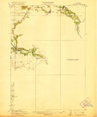
1921 · Brownsville
USGS Topo · 1:62,500
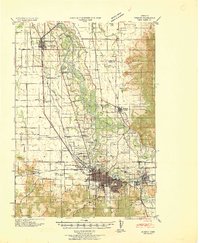
1940 · Eugene
USGS Topo · 1:62,500
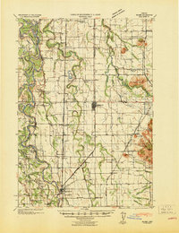
1941 · Halsey
USGS Topo · 1:62,500
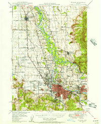
1946 · Eugene
USGS Topo · 1:62,500
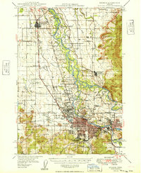
1949 · Eugene
USGS Topo · 1:62,500
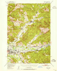
1950 · Marcola
USGS Topo · 1:62,500