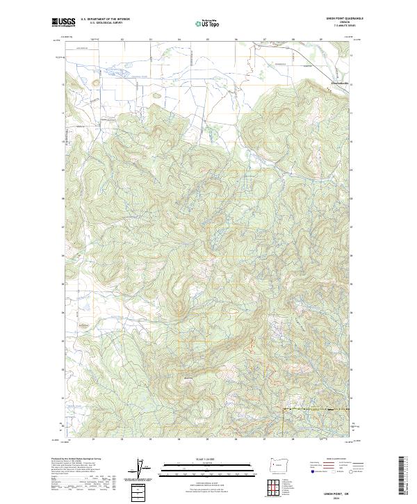
2024 Map of Union Point
USGS Topo · Published 2024About this map
Crawfordsville sits at the northeastern corner of this terrain where the Calapooia River emerges from the higher ground. The landscape is defined by the transition from the broad Dinwiddie Valley in the west to the significant elevations of Bald Mtn and Cougar Ridge in the south and east. A complex network of drainage systems, including Courtney Creek, Tub Run, and Pierce Creek, carves through these hills, reflecting a rugged topography that has dictated the area's development.
Find a feature on this map
38 named features on this map. Tap any name to fly to it.
Don’t see what you’re looking for? This feature index may not catch every label — zoom into the map to look around manually.
Map Details
Editions of this 2024 Union Point Map
This is the sole edition of this map. No revisions or reprints were ever made.
Other maps of this area

1909 · Rowland
USGS Topo · 1:31,680

1910 · Eugene
USGS Topo · 1:62,500

1911 · Brownsville
USGS Topo · 1:31,680

1912 · Halsey
USGS Topo · 1:62,500

1921 · Brownsville
USGS Topo · 1:62,500

1940 · Eugene
USGS Topo · 1:62,500

1941 · Halsey
USGS Topo · 1:62,500

1946 · Eugene
USGS Topo · 1:62,500

1949 · Eugene
USGS Topo · 1:62,500

1950 · Marcola
USGS Topo · 1:62,500