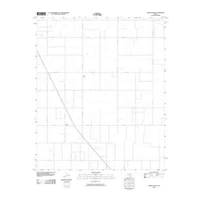
2010 Map of Union School
USGS Topo · Published 2010About this map
Union serves as the central hub of this agricultural landscape in Terry County, where the grid of rural roads reveals the organized pattern of West Texas farming. The survey prominently features the Union Cemetery, a significant site for local genealogy, located along the north-south axis of Country Club road. The terrain is defined by a dense network of county roads, including Co Rd 660 and Co Rd 480, which facilitate movement between sprawling farm tracts. Larger thoroughfares such as Ranch Rd 1076 and Fm 213 E cut through the section lines, connecting this community to the broader region during the early 21st century. The map illustrates a high-plains environment where water management and road accessibility are paramount to the local rural economy.
Find a feature on this map
19 named features on this map. Tap any name to fly to it.
Don’t see what you’re looking for? This feature index may not catch every label — zoom into the map to look around manually.
Map Details
Editions of this 2010 Union School Map
This is the sole edition of this map. No revisions or reprints were ever made.
Other maps of this area

1954 · Hobbs
USGS Topo · 1:250,000

1954 · Brownfield
USGS Topo · 1:250,000

1958 · Brownfield
USGS Topo · 1:250,000

1958 · Hobbs
USGS Topo · 1:250,000

1962 · Brownfield
USGS Topo · 1:250,000

1969 · Brownfield East
USGS Topo · 1:24,000

1969 · Foster
USGS Topo · 1:24,000

1969 · Welch East
USGS Topo · 1:24,000

1969 · Mound Lake
USGS Topo · 1:24,000

1969 · Ashmore
USGS Topo · 1:24,000