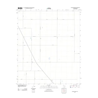
2012 Map of Union School
USGS Topo · Published 2012About this map
Union stands at a central crossroads in Terry County, Texas, serving as a focal point for this expansive agricultural landscape. The settlement is defined by its rectilinear grid of rural routes, including the prominent intersection of Fm-213 and several county roads. A short distance to the north, the Union Cem remains a significant landmark for those tracing local family lineages in this part of the High Plains. The terrain is notably flat, punctuated by scattered small depressions and a network of named thoroughfares like Country Club Rd and Ranch Road 1076. This survey captures the rural layout of the region as it existed in the early 21st century, illustrating how property lines and transportation corridors continue to follow the systematic survey patterns of West Texas.
Find a feature on this map
22 named features on this map. Tap any name to fly to it.
Don’t see what you’re looking for? This feature index may not catch every label — zoom into the map to look around manually.
Map Details
Editions of this 2012 Union School Map
This is the sole edition of this map. No revisions or reprints were ever made.
Other maps of this area

1954 · Hobbs
USGS Topo · 1:250,000

1954 · Brownfield
USGS Topo · 1:250,000

1958 · Brownfield
USGS Topo · 1:250,000

1958 · Hobbs
USGS Topo · 1:250,000

1962 · Brownfield
USGS Topo · 1:250,000
1969 · Brownfield East
USGS Topo · 1:24,000
1969 · Foster
USGS Topo · 1:24,000
1969 · Welch East
USGS Topo · 1:24,000
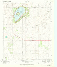
1969 · Mound Lake
USGS Topo · 1:24,000
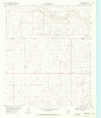
1969 · Ashmore
USGS Topo · 1:24,000