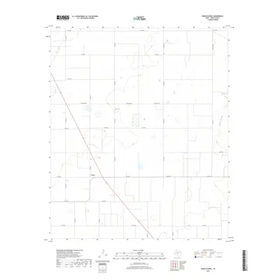
2019 Map of Union School
USGS Topo · Published 2019About this map
The agricultural landscape of Terry County, Texas, is defined by a rhythmic grid of rural roads and scattered playa lakes in this 2019 survey. The small community of Union serves as a local anchor, centered near the intersection of Fm 213 E and State Highway 137. This map is particularly valuable for genealogists and local historians, as it clearly identifies the Union School and the nearby Union Cem, which sit amidst the patchwork of farm fields. The terrain is largely flat, broken only by the subtle depression of Lost Draw in the northeastern corner. The road network, including numerous numbered county roads like Co Rd 535 and Co Rd 620, illustrates the modern land-use patterns of the South Plains, where infrastructure is designed around large-scale cotton and grain farming.
Find a feature on this map
25 named features on this map. Tap any name to fly to it.
Don’t see what you’re looking for? This feature index may not catch every label — zoom into the map to look around manually.
Map Details
Editions of this 2019 Union School Map
This is the sole edition of this map. No revisions or reprints were ever made.
Other maps of this area

1954 · Hobbs
USGS Topo · 1:250,000

1954 · Brownfield
USGS Topo · 1:250,000

1958 · Brownfield
USGS Topo · 1:250,000

1958 · Hobbs
USGS Topo · 1:250,000

1962 · Brownfield
USGS Topo · 1:250,000
1969 · Brownfield East
USGS Topo · 1:24,000
1969 · Foster
USGS Topo · 1:24,000
1969 · Welch East
USGS Topo · 1:24,000
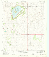
1969 · Mound Lake
USGS Topo · 1:24,000
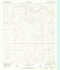
1969 · Ashmore
USGS Topo · 1:24,000