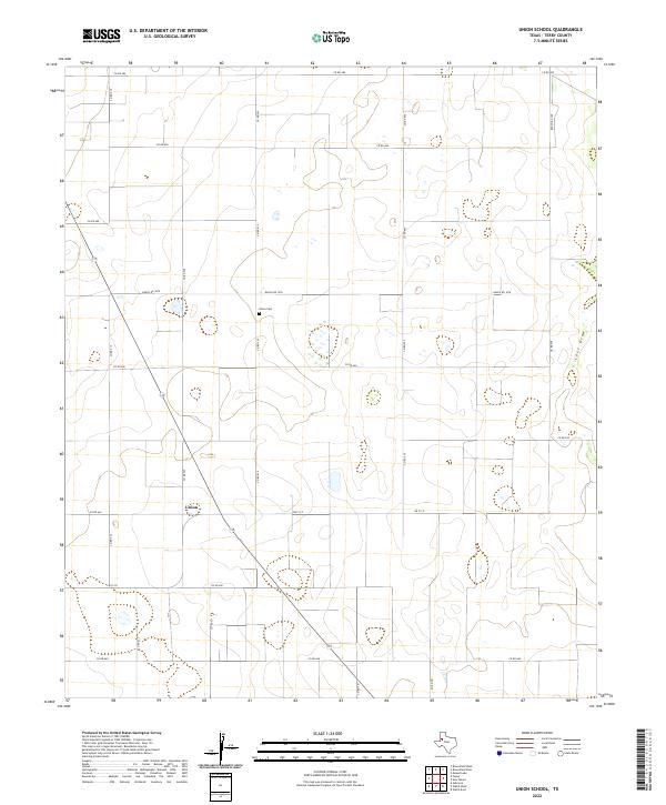
2022 Map of Union School
USGS Topo · Published 2022About this map
Union stands as the primary settlement on this High Plains landscape in Terry County, situated at the intersection of a vast grid of agricultural roads. The community center is anchored by the Union Cem, a vital site for genealogical research in this part of West Texas. Much of the terrain is defined by the intermittent drainage of Lost Draw, which meanders through the eastern section of the map. The underlying network of roads, including Ranch Rd 1076 and Fm 213 E, reflects the persistent rural survey system that organizes the local cotton and sorghum farming economy. Small, scattered depressions across the landscape indicate the playa lakes characteristic of the Llano Estacado, providing a detailed record of the natural hydrology alongside the human-imposed geometry of the county road system.
Find a feature on this map
23 named features on this map. Tap any name to fly to it.
Don’t see what you’re looking for? This feature index may not catch every label — zoom into the map to look around manually.
Map Details
Editions of this 2022 Union School Map
This is the sole edition of this map. No revisions or reprints were ever made.
Other maps of this area

1954 · Hobbs
USGS Topo · 1:250,000

1954 · Brownfield
USGS Topo · 1:250,000

1958 · Brownfield
USGS Topo · 1:250,000

1958 · Hobbs
USGS Topo · 1:250,000

1962 · Brownfield
USGS Topo · 1:250,000

1969 · Brownfield East
USGS Topo · 1:24,000

1969 · Foster
USGS Topo · 1:24,000

1969 · Welch East
USGS Topo · 1:24,000

1969 · Mound Lake
USGS Topo · 1:24,000

1969 · Ashmore
USGS Topo · 1:24,000