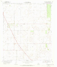
1969 Map of Union School
USGS Topo · Published 1971About this map
Scattered homesteads and petroleum extraction define the high plains landscape of Terry County in the late 1960s. The region is characterized by a sparse network of roads, including 137 and 213, which connect isolated water sources and industrial sites. At the heart of this rural community is the Union Sch and the nearby Union Cem, serving as the primary landmarks for local families and genealogists tracing early settlement patterns in this part of West Texas.
Find a feature on this map
12 named features on this map. Tap any name to fly to it.
Don’t see what you’re looking for? This feature index may not catch every label — zoom into the map to look around manually.
Map Details
Editions of this 1969 Union School Map
This is the sole edition of this map. No revisions or reprints were ever made.
Other maps of this area

1954 · Hobbs
USGS Topo · 1:250,000

1954 · Brownfield
USGS Topo · 1:250,000

1958 · Brownfield
USGS Topo · 1:250,000

1958 · Hobbs
USGS Topo · 1:250,000

1962 · Brownfield
USGS Topo · 1:250,000

1969 · Brownfield East
USGS Topo · 1:24,000

1969 · Foster
USGS Topo · 1:24,000

1969 · Welch East
USGS Topo · 1:24,000

1969 · Mound Lake
USGS Topo · 1:24,000

1969 · Ashmore
USGS Topo · 1:24,000