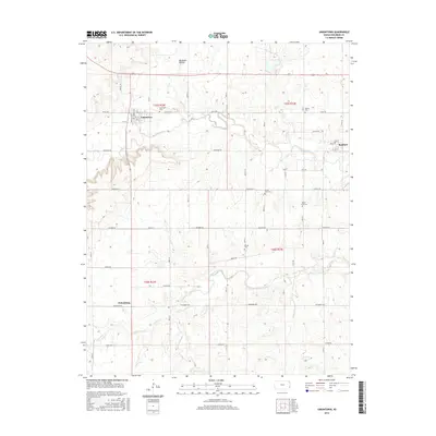
2015 Map of Uniontown
USGS Topo · Published 2015About this map
The Marmaton River winds eastward through the heart of this Bourbon County landscape, defining a terrain of river bottoms and wooded draws like Opossum Hollow. In the northwest, Uniontown serves as a local hub, situated near the Uniontown Cem at the junction of several rural routes including Old Hwy 54. To the east, the community of Redfield sits just north of the river, while the small settlement of Petersburg occupies the western edge of the quadrangle.
Find a feature on this map
48 named features on this map. Tap any name to fly to it.
Don’t see what you’re looking for? This feature index may not catch every label — zoom into the map to look around manually.
Map Details
Editions of this 2015 Uniontown Map
This is the sole edition of this map. No revisions or reprints were ever made.
Other maps of this area
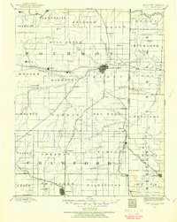
1884 · Fort Scott
USGS Topo · 1:125,000
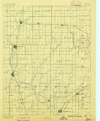
1886 · Iola
USGS Topo · 1:125,000
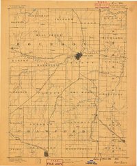
1886 · Fort Scott
USGS Topo · 1:125,000
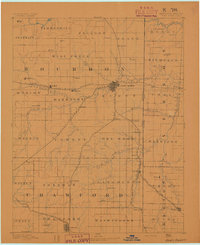
1893 · Fort Scott
USGS Topo · 1:125,000
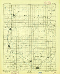
1893 · Iola
USGS Topo · 1:125,000
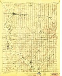
1904 · Iola
USGS Topo · 1:125,000

1947 · Joplin
USGS Topo · 1:250,000
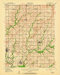
1948 · Erie
USGS Topo · 1:62,500
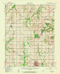
1948 · Girard
USGS Topo · 1:62,500
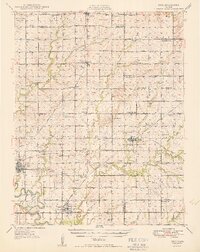
1949 · Erie
USGS Topo · 1:62,500