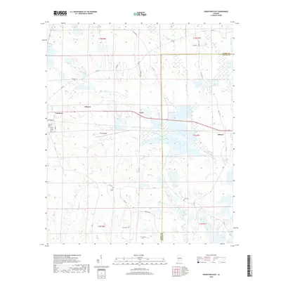
2018 Map of Uniontown East
USGS Topo · Published 2018About this map
Uniontown anchors the western edge of this Black Belt landscape, where the town street grid transitions into the broad agricultural reaches of Perry Co and Dallas Co. Small settlements like Tayloe, Hillcrest, and Bellevue are clustered along the primary corridor of Highway 80, which bisects the quadrangle from east to west. The terrain is defined by a dense network of slow-moving waterways, including Cillatchee Creek and Tayloe Creek, which meander through the low-lying bottomlands. Genealogists and local historians can locate several family and community burial sites scattered across the rural sections, such as Pickens Cemetery, Asbury Cemetery, and Living Hope Cemetery. The convergence of historical road names like Star Bethel Road and Hinton Road suggests long-standing transit patterns connecting these dispersed communities through the fertile Alabama timber and farm country.
Find a feature on this map
45 named features on this map. Tap any name to fly to it.
Don’t see what you’re looking for? This feature index may not catch every label — zoom into the map to look around manually.
Map Details
Editions of this 2018 Uniontown East Map
This is the sole edition of this map. No revisions or reprints were ever made.
Other maps of this area

1953 · Montgomery
USGS Topo · 1:250,000

1956 · Montgomery
USGS Topo · 1:250,000

1957 · Montgomery
USGS Topo · 1:250,000

1968 · Thomaston East
USGS Topo · 1:24,000

1968 · Uniontown West
USGS Topo · 1:24,000

1968 · Uniontown East
USGS Topo · 1:24,000

1968 · Browns
USGS Topo · 1:24,000

1968 · Safford
USGS Topo · 1:24,000

1968 · Central Mills
USGS Topo · 1:24,000

1979 · Scott Station
USGS Topo · 1:24,000