
1968 Map of Uniontown West
USGS Topo · Published 1971About this map
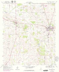
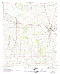
Uniontown and Faunsdale anchor this Black Belt landscape, where the Southern railroad corridor dictates the pattern of development across the northern reaches of the quadrangle. The 1968 survey reveals a community deeply rooted in its religious and educational infrastructure, featuring numerous rural landmarks such as Zion Hill Ch, Cedar Grove Ch, and Rock Chapel. The presence of both Faunsdale Jr High Sch and Hatch High Sch highlights the local focus on schooling during this era of Alabama history.
Find a feature on this map
34 named features on this map. Tap any name to fly to it.
Don’t see what you’re looking for? This feature index may not catch every label — zoom into the map to look around manually.
Map Details
Editions of this 1968 Uniontown West Map
3 editions found
Other maps of this area

1953 · Montgomery
USGS Topo · 1:250,000

1956 · Montgomery
USGS Topo · 1:250,000

1957 · Montgomery
USGS Topo · 1:250,000

1968 · Thomaston East
USGS Topo · 1:24,000

1968 · Uniontown East
USGS Topo · 1:24,000

1968 · Thomaston West
USGS Topo · 1:24,000

1968 · Gallion
USGS Topo · 1:24,000

1968 · Central Mills
USGS Topo · 1:24,000

1979 · Scott Station
USGS Topo · 1:24,000
1980 · Casemore
USGS Topo · 1:24,000