
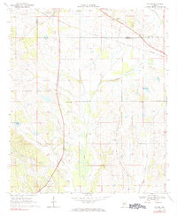
1968 Map of Gallion
USGS Topo · Published 1971About this map
Gallion sits near the northern boundary of this Black Belt landscape, where the Southern railroad corridor cuts across the border of Marengo and Hale counties. The area is characterized by a series of rural congregations and watercourses that shaped local life in the late 1960s. Small community centers are anchored by churches such as Bethlehem Ch and Nazarea Galilee Ch, while Allenville marks a notable node further east near the Allenville Cem. Drainage patterns are defined by Powell Creek and Cottonwood Creek, which meander through a mix of pasture and woodland typical of this agricultural region. The inclusion of Radio Towers and multiple pipelines indicates the infrastructure developments that were emerging alongside long-established farmstead roads and natural features like Moss Lake.
Find a feature on this map
20 named features on this map. Tap any name to fly to it.
Don’t see what you’re looking for? This feature index may not catch every label — zoom into the map to look around manually.
Map Details
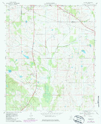
Editions of this 1968 Gallion Map
3 editions found
Other maps of this area

1946 · Demopolis
USGS Topo · 1:24,000

1947 · Demopolis
USGS Topo · 1:24,000

1953 · Montgomery
USGS Topo · 1:250,000

1956 · Montgomery
USGS Topo · 1:250,000

1957 · Montgomery
USGS Topo · 1:250,000

1968 · Thomaston East
USGS Topo · 1:24,000

1968 · Uniontown West
USGS Topo · 1:24,000

1968 · Thomaston West
USGS Topo · 1:24,000

1970 · Old Spring Hill
USGS Topo · 1:24,000

1970 · Linden
USGS Topo · 1:24,000