
1970 Map of Linden
USGS Topo · Published 1973About this map
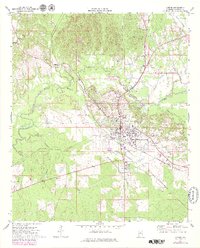
The town of Linden serves as the focal point of this 1970 Marengo County survey, situated at the crossroads of significant regional rail and road networks. The landscape is defined by the convergence of several waterways, including Bogue Chickasaw Creek, Sycamore Creek, and Threemile Creek, which drain the undulating terrain toward the south and west. To the north, the protected lands of Chickasaw State Park provide a distinct contrast to the surrounding rural development and agricultural tracts.
Find a feature on this map
36 named features on this map. Tap any name to fly to it.
Don’t see what you’re looking for? This feature index may not catch every label — zoom into the map to look around manually.
Map Details
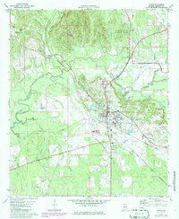
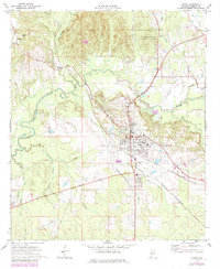
Editions of this 1970 Linden Map
4 editions found
Other maps of this area

1953 · Montgomery
USGS Topo · 1:250,000

1956 · Montgomery
USGS Topo · 1:250,000

1957 · Montgomery
USGS Topo · 1:250,000

1968 · Thomaston West
USGS Topo · 1:24,000

1968 · Gallion
USGS Topo · 1:24,000

1970 · Myrtlewood North
USGS Topo · 1:24,000
1970 · Jefferson
USGS Topo · 1:24,000

1970 · Old Spring Hill
USGS Topo · 1:24,000
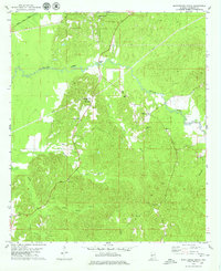
1978 · Myrtlewood South
USGS Topo · 1:24,000
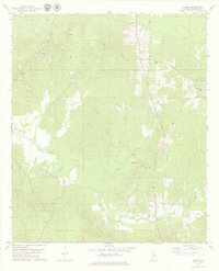
1978 · Miller
USGS Topo · 1:24,000