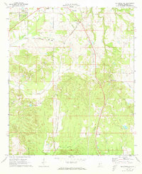
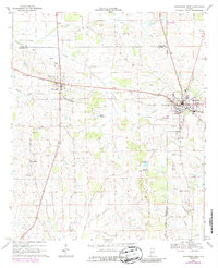
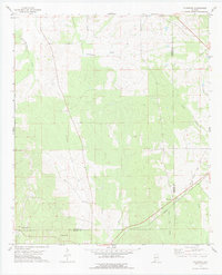
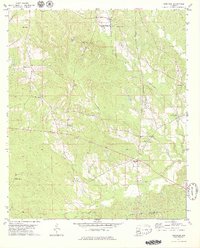
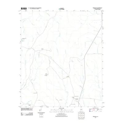
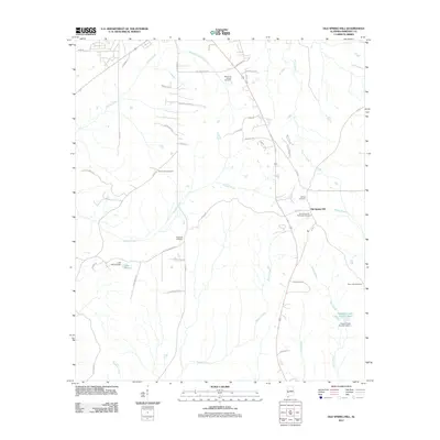
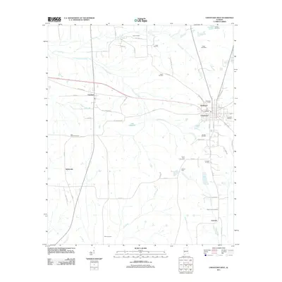
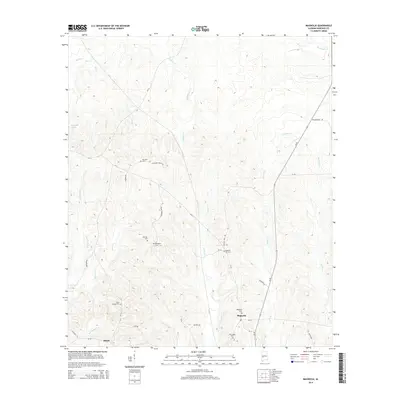
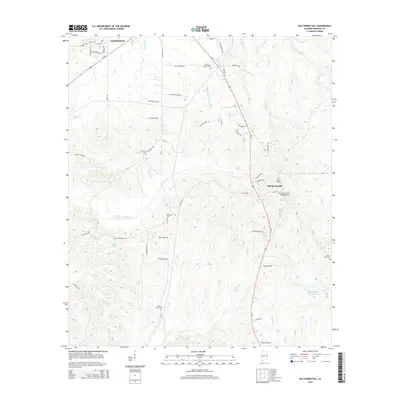
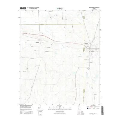
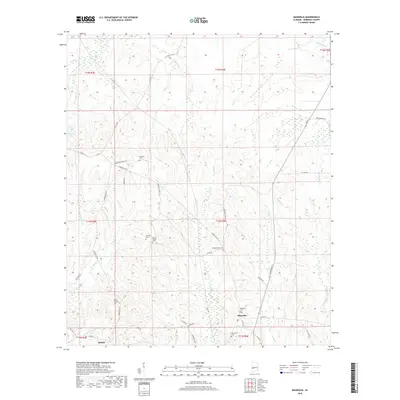
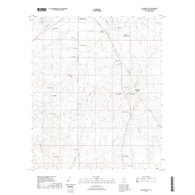
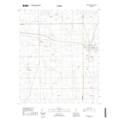
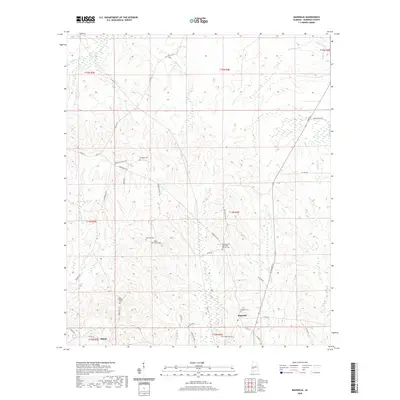
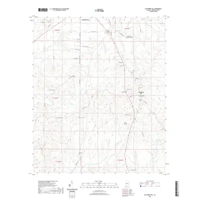
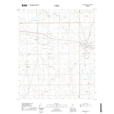
1970 Map of Old Spring Hill
USGS Topo · Published 1973About this map
Old Spring Hill and the rural surroundings of Demopolis appear here during the transition into the 1970s, defined by a dense network of country churches that speak to the area's deep-rooted community history. The landscape is dotted with congregations such as Nazareth of Galilee Ch, St Paul Ch, and the Old Mt Canaan Ch, often situated near small family or community burial grounds like Pine Grove Ch Cem.
Find a feature on this map
30 named features on this map. Tap any name to fly to it.
Don’t see what you’re looking for? This feature index may not catch every label — zoom into the map to look around manually.
Map Details
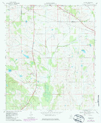
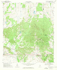
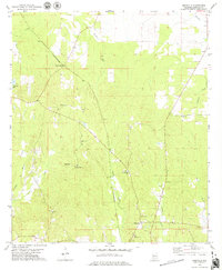
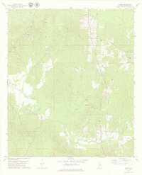
Editions of this 1970 Old Spring Hill Map
2 editions found
Historical Maps of Demopolis Through Time
72 maps found
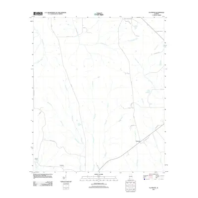
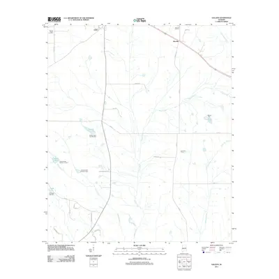
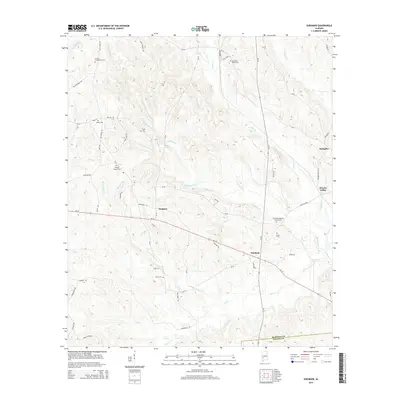
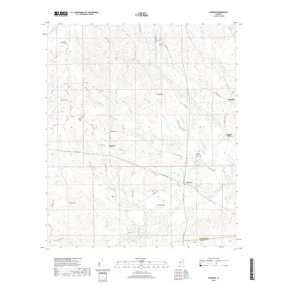
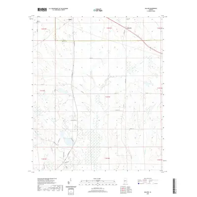
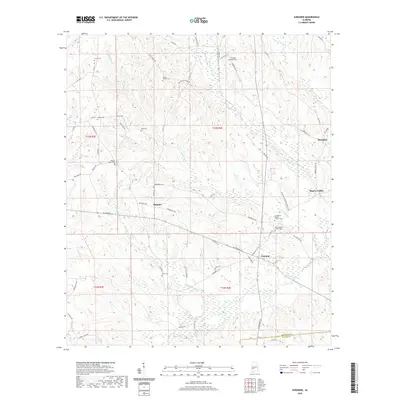
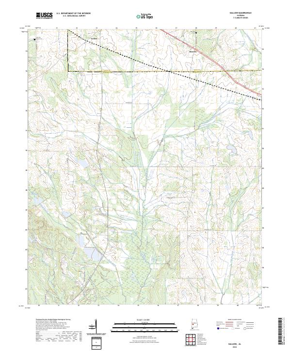
1968 Gallion
Marengo County, AL
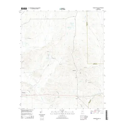
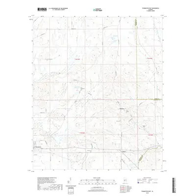
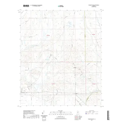
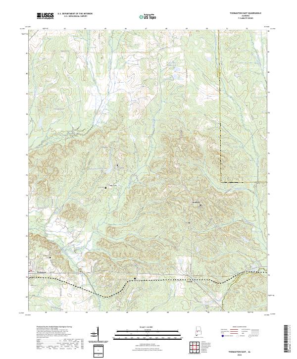
1968 Thomaston East
Marengo County, AL
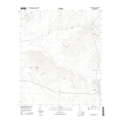
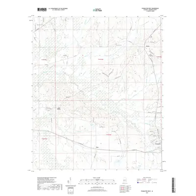
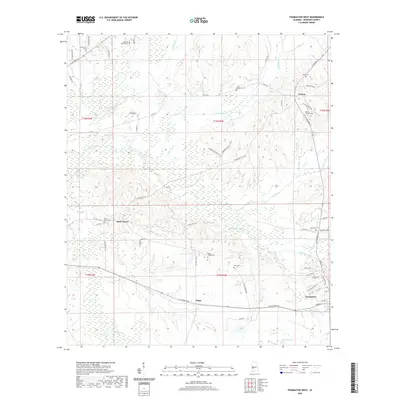
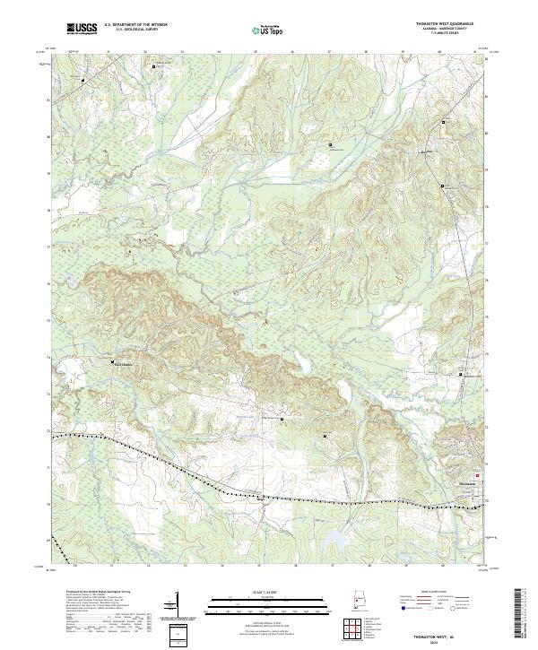
1968 Thomaston West
Marengo County, AL
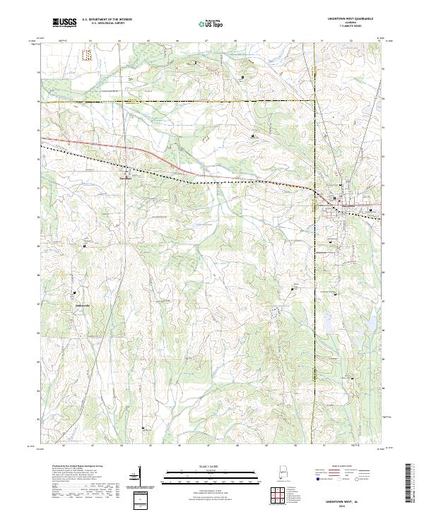
1968 Uniontown West
Marengo County, AL
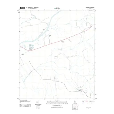
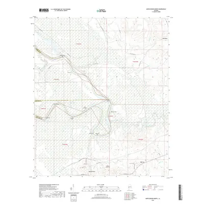
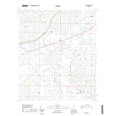
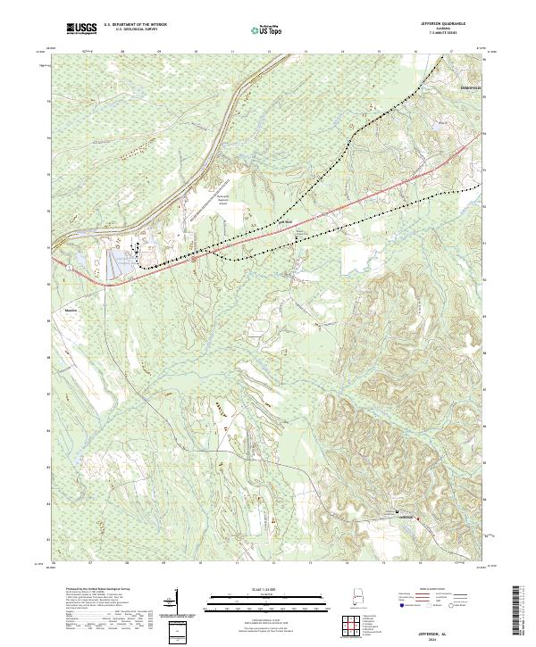
1970 Jefferson
Marengo County, AL
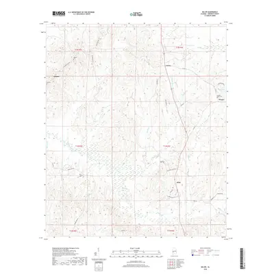
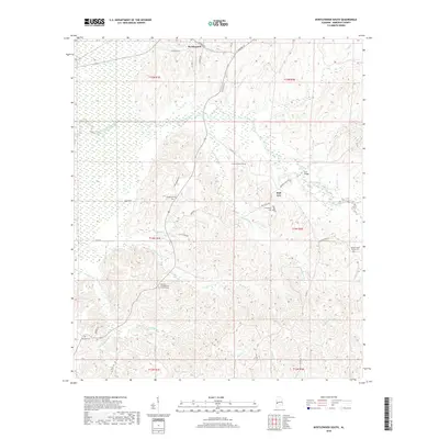
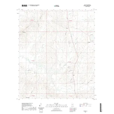
1970 Myrtlewood North
Marengo County, AL
1970 Old Spring Hill
Marengo County, AL
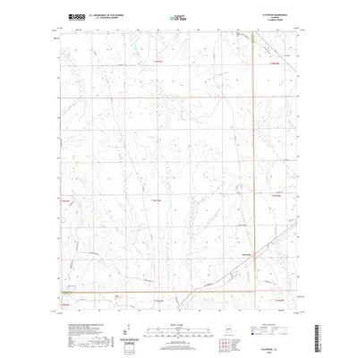
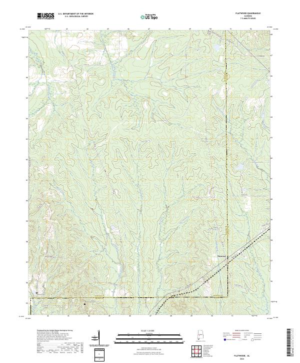
1978 Flatwood
Marengo County, AL
1978 Magnolia
Marengo County, AL
1978 Miller
Marengo County, AL
1978 Myrtlewood South
Marengo County, AL
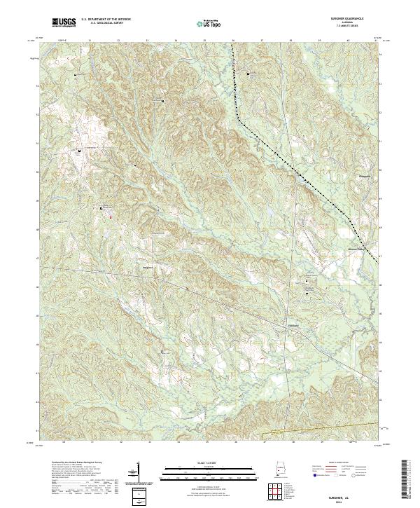
1978 Surginer
Marengo County, AL
2011 Flatwood
Marengo County, AL
2011 Gallion
Marengo County, AL
2011 Jefferson
Marengo County, AL
2011 Magnolia
Marengo County, AL
2011 Miller
Marengo County, AL
2011 Myrtlewood North
Marengo County, AL
2011 Myrtlewood South
Marengo County, AL
2011 Old Spring Hill
Marengo County, AL
2011 Surginer
Marengo County, AL
2011 Thomaston East
Marengo County, AL
2011 Thomaston West
Marengo County, AL
2011 Uniontown West
Marengo County, AL
2014 Flatwood
Marengo County, AL
2014 Gallion
Marengo County, AL
2014 Jefferson
Marengo County, AL
2014 Magnolia
Marengo County, AL
2014 Miller
Marengo County, AL
2014 Myrtlewood North
Marengo County, AL
2014 Myrtlewood South
Marengo County, AL
2014 Old Spring Hill
Marengo County, AL
2014 Surginer
Marengo County, AL
2014 Thomaston East
Marengo County, AL
2014 Thomaston West
Marengo County, AL
2014 Uniontown West
Marengo County, AL
2018 Flatwood
Marengo County, AL
2018 Gallion
Marengo County, AL
2018 Jefferson
Marengo County, AL
2018 Magnolia
Marengo County, AL
2018 Miller
Marengo County, AL
2018 Myrtlewood North
Marengo County, AL
2018 Myrtlewood South
Marengo County, AL
2018 Old Spring Hill
Marengo County, AL
2018 Surginer
Marengo County, AL
2018 Thomaston East
Marengo County, AL
2018 Thomaston West
Marengo County, AL
2018 Uniontown West
Marengo County, AL
2020 Flatwood
Marengo County, AL
2020 Gallion
Marengo County, AL
2020 Jefferson
Marengo County, AL
2020 Magnolia
Marengo County, AL
2020 Miller
Marengo County, AL
2020 Myrtlewood North
Marengo County, AL
2020 Myrtlewood South
Marengo County, AL
2020 Old Spring Hill
Marengo County, AL
2020 Surginer
Marengo County, AL
2020 Thomaston East
Marengo County, AL
2020 Thomaston West
Marengo County, AL
2020 Uniontown West
Marengo County, AL
2024 Flatwood
Marengo County, AL
2024 Gallion
Marengo County, AL
2024 Jefferson
Marengo County, AL
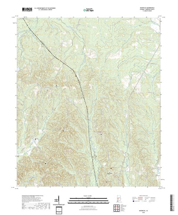
2024 Magnolia
Marengo County, AL
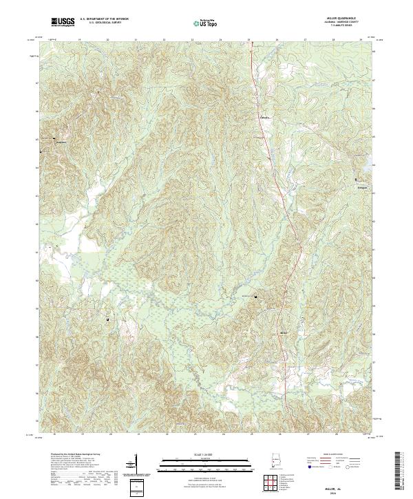
2024 Miller
Marengo County, AL

2024 Myrtlewood North
Marengo County, AL
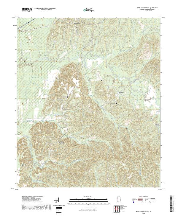
2024 Myrtlewood South
Marengo County, AL
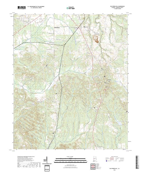
2024 Old Spring Hill
Marengo County, AL
2024 Surginer
Marengo County, AL
2024 Thomaston East
Marengo County, AL
2024 Thomaston West
Marengo County, AL
2024 Uniontown West
Marengo County, AL