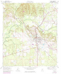
1970 Map of Linden
USGS Topo · Published 1984About this map
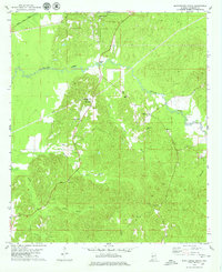
Linden serves as the central hub of this West Alabama landscape, where the Louisville and Nashville and St Louis-San Francisco railroads intersect. The town’s civic life is well-documented, featuring the Marengo County Hosp, the local High Sch, and the Marengo County Sch just to the south. Significant rural infrastructure is visible, including a sprawling network of pipelines and a prominent substation that reflect the mid-century industrial growth of the region.
Find a feature on this map
32 named features on this map. Tap any name to fly to it.
Don’t see what you’re looking for? This feature index may not catch every label — zoom into the map to look around manually.
Map Details
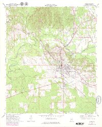
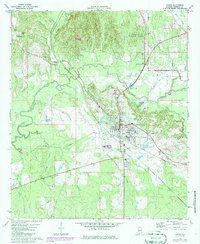
Editions of this 1970 Linden Map
4 editions found
Other maps of this area

1953 · Montgomery
USGS Topo · 1:250,000

1956 · Montgomery
USGS Topo · 1:250,000

1957 · Montgomery
USGS Topo · 1:250,000

1968 · Thomaston West
USGS Topo · 1:24,000

1968 · Gallion
USGS Topo · 1:24,000

1970 · Myrtlewood North
USGS Topo · 1:24,000
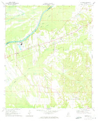
1970 · Jefferson
USGS Topo · 1:24,000

1970 · Old Spring Hill
USGS Topo · 1:24,000

1970 · Linden
USGS Topo · 1:24,000
1978 · Myrtlewood South
USGS Topo · 1:24,000