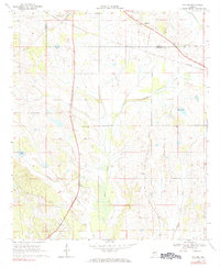
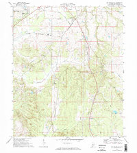
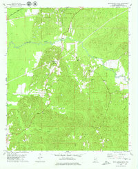
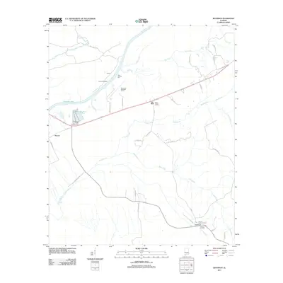
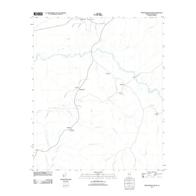
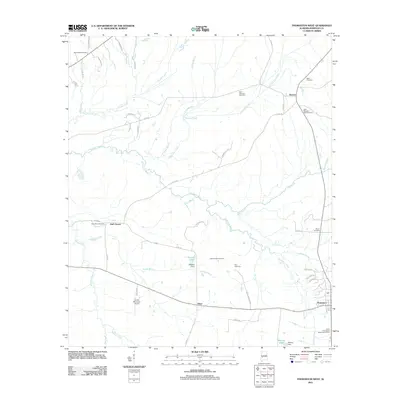
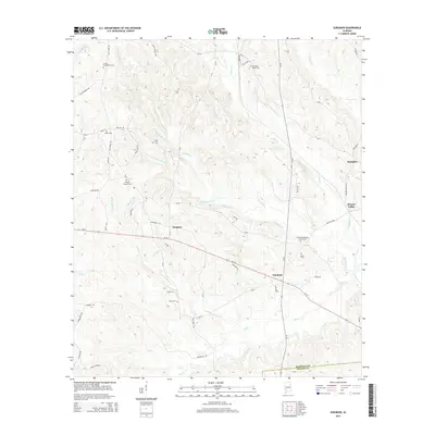
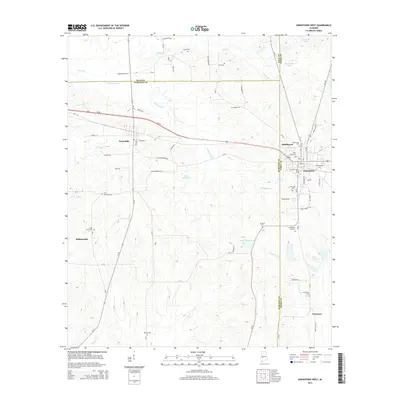
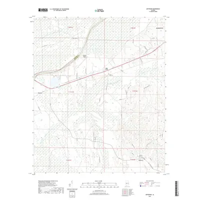
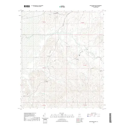
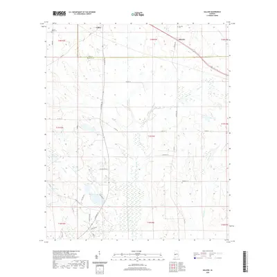
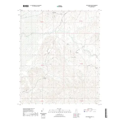
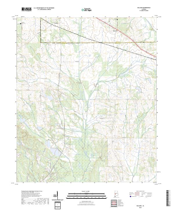
1968 Map of Gallion
USGS Topo · Published 1984About this map
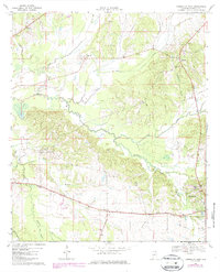
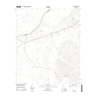
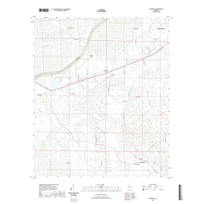
The Southern railroad line cuts a straight path across the northern landscape of the Black Belt region, anchoring the small communities of Gallion and Allenville. This late-1960s perspective reveals a rural landscape deeply rooted in its local institutions, evidenced by the numerous country churches such as Bethlehem Ch, Nazarea Galilee Ch, and St James Ch that dot the countryside. The terrain is defined by a network of small waterways, including Cottonwood Creek and Powell Creek, which meander toward the southern reaches of the quadrangle.
Find a feature on this map
19 named features on this map. Tap any name to fly to it.
Don’t see what you’re looking for? This feature index may not catch every label — zoom into the map to look around manually.
Map Details
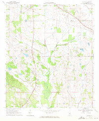
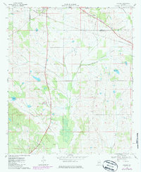
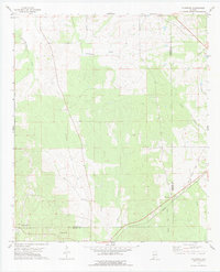
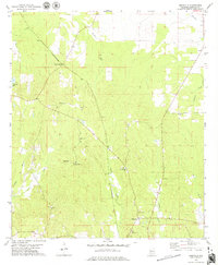
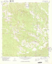
Editions of this 1968 Gallion Map
3 editions found
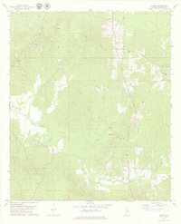
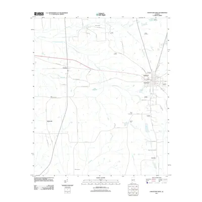
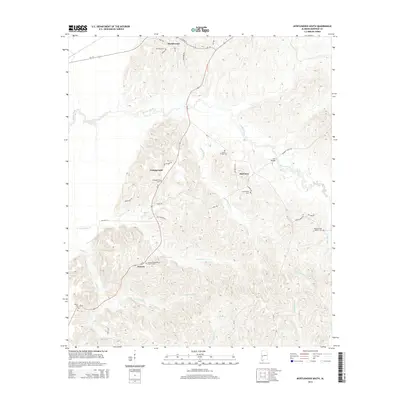
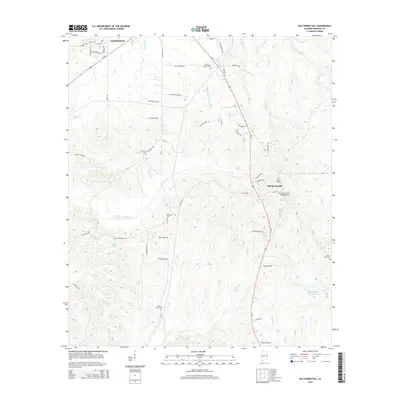
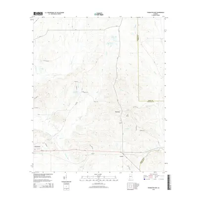
Historical Maps of Allenville Through Time
72 maps found
1968 Gallion
Marengo County, AL
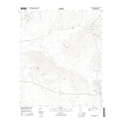
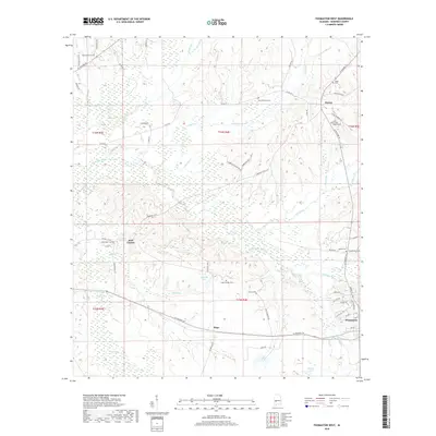
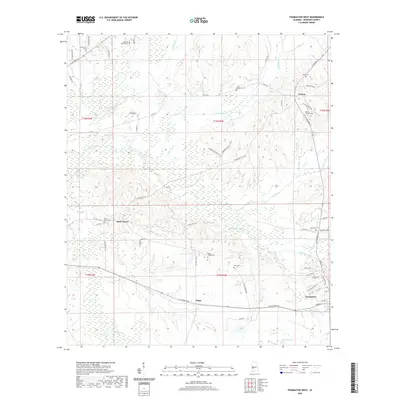
1968 Thomaston East
Marengo County, AL
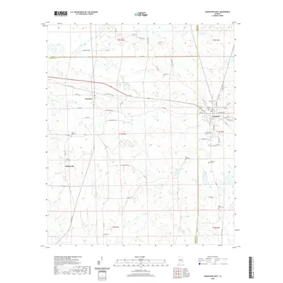
1968 Thomaston West
Marengo County, AL
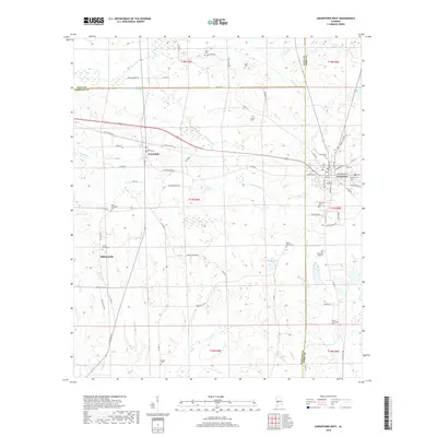
1968 Uniontown West
Marengo County, AL
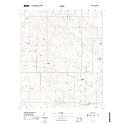
1970 Jefferson
Marengo County, AL
1970 Myrtlewood North
Marengo County, AL
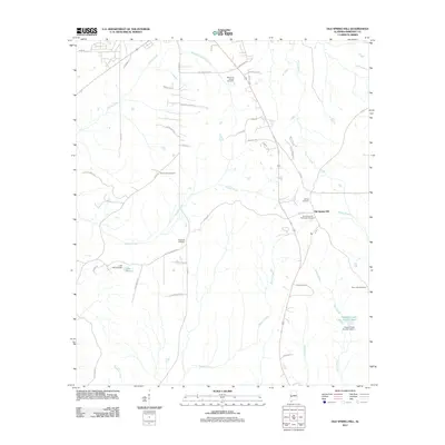
1970 Old Spring Hill
Marengo County, AL
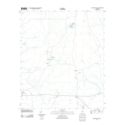
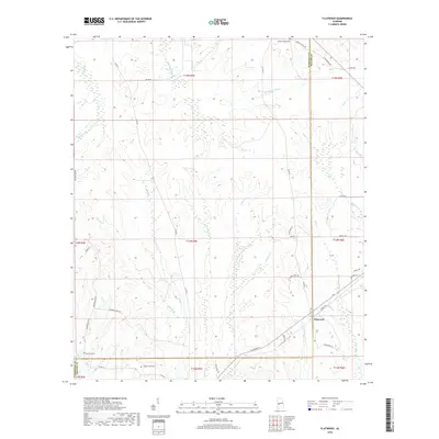
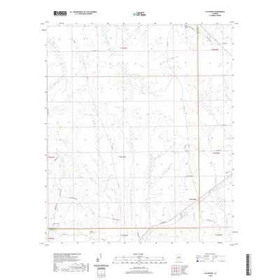
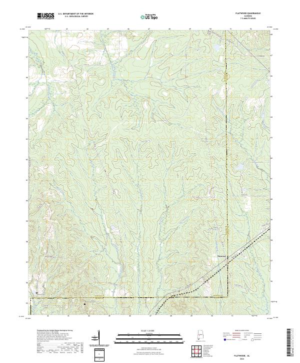
1978 Flatwood
Marengo County, AL
1978 Magnolia
Marengo County, AL
1978 Miller
Marengo County, AL
1978 Myrtlewood South
Marengo County, AL
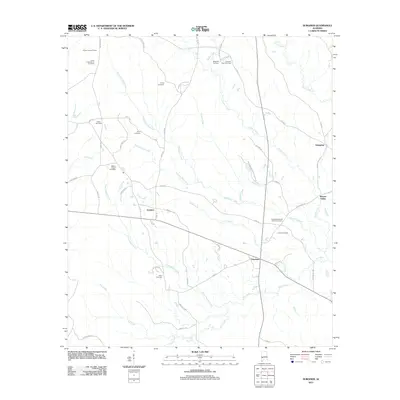
1978 Surginer
Marengo County, AL
2011 Flatwood
Marengo County, AL
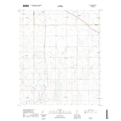
2011 Gallion
Marengo County, AL
2011 Jefferson
Marengo County, AL
2011 Magnolia
Marengo County, AL
2011 Miller
Marengo County, AL
2011 Myrtlewood North
Marengo County, AL
2011 Myrtlewood South
Marengo County, AL
2011 Old Spring Hill
Marengo County, AL
2011 Surginer
Marengo County, AL
2011 Thomaston East
Marengo County, AL
2011 Thomaston West
Marengo County, AL
2011 Uniontown West
Marengo County, AL
2014 Flatwood
Marengo County, AL
2014 Gallion
Marengo County, AL
2014 Jefferson
Marengo County, AL
2014 Magnolia
Marengo County, AL
2014 Miller
Marengo County, AL
2014 Myrtlewood North
Marengo County, AL
2014 Myrtlewood South
Marengo County, AL
2014 Old Spring Hill
Marengo County, AL
2014 Surginer
Marengo County, AL
2014 Thomaston East
Marengo County, AL
2014 Thomaston West
Marengo County, AL
2014 Uniontown West
Marengo County, AL
2018 Flatwood
Marengo County, AL
2018 Gallion
Marengo County, AL
2018 Jefferson
Marengo County, AL
2018 Magnolia
Marengo County, AL
2018 Miller
Marengo County, AL
2018 Myrtlewood North
Marengo County, AL
2018 Myrtlewood South
Marengo County, AL
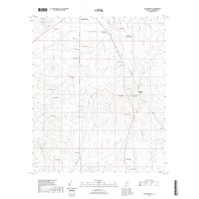
2018 Old Spring Hill
Marengo County, AL
2018 Surginer
Marengo County, AL
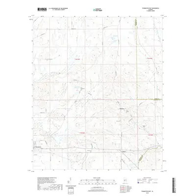
2018 Thomaston East
Marengo County, AL
2018 Thomaston West
Marengo County, AL
2018 Uniontown West
Marengo County, AL
2020 Flatwood
Marengo County, AL
2020 Gallion
Marengo County, AL
2020 Jefferson
Marengo County, AL
2020 Magnolia
Marengo County, AL
2020 Miller
Marengo County, AL
2020 Myrtlewood North
Marengo County, AL
2020 Myrtlewood South
Marengo County, AL
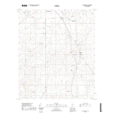
2020 Old Spring Hill
Marengo County, AL
2020 Surginer
Marengo County, AL
2020 Thomaston East
Marengo County, AL
2020 Thomaston West
Marengo County, AL
2020 Uniontown West
Marengo County, AL
2024 Flatwood
Marengo County, AL
2024 Gallion
Marengo County, AL
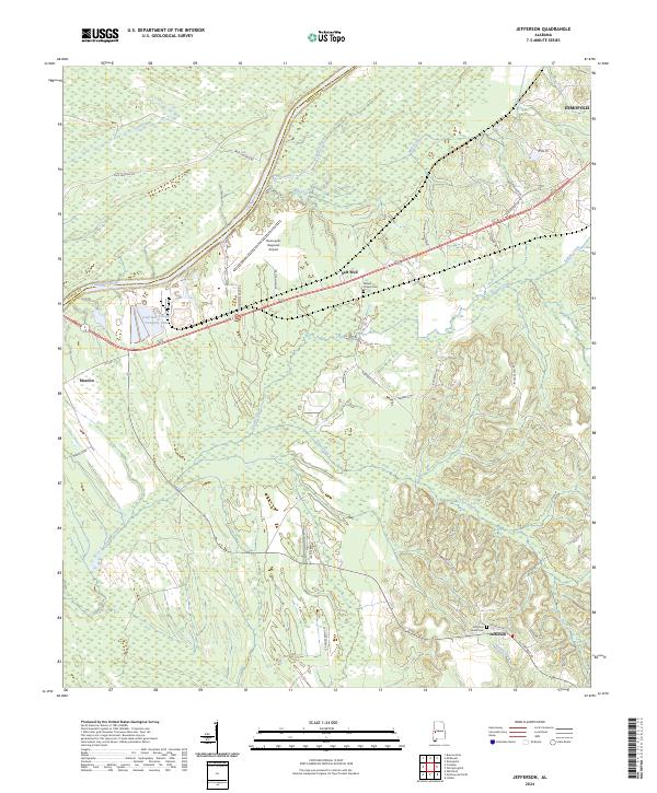
2024 Jefferson
Marengo County, AL
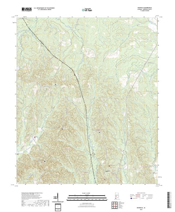
2024 Magnolia
Marengo County, AL
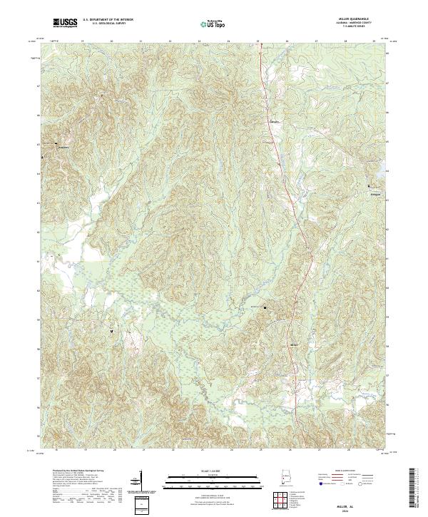
2024 Miller
Marengo County, AL

2024 Myrtlewood North
Marengo County, AL
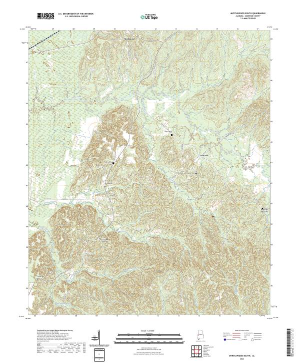
2024 Myrtlewood South
Marengo County, AL
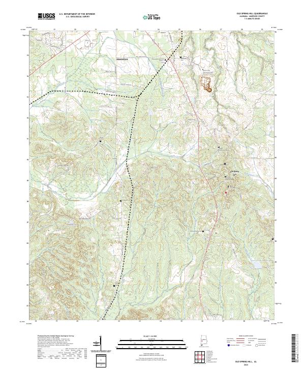
2024 Old Spring Hill
Marengo County, AL
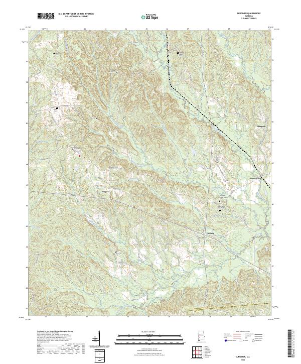
2024 Surginer
Marengo County, AL
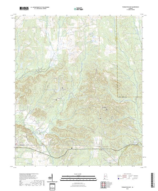
2024 Thomaston East
Marengo County, AL
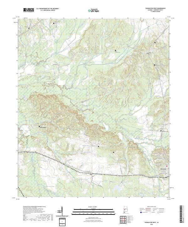
2024 Thomaston West
Marengo County, AL
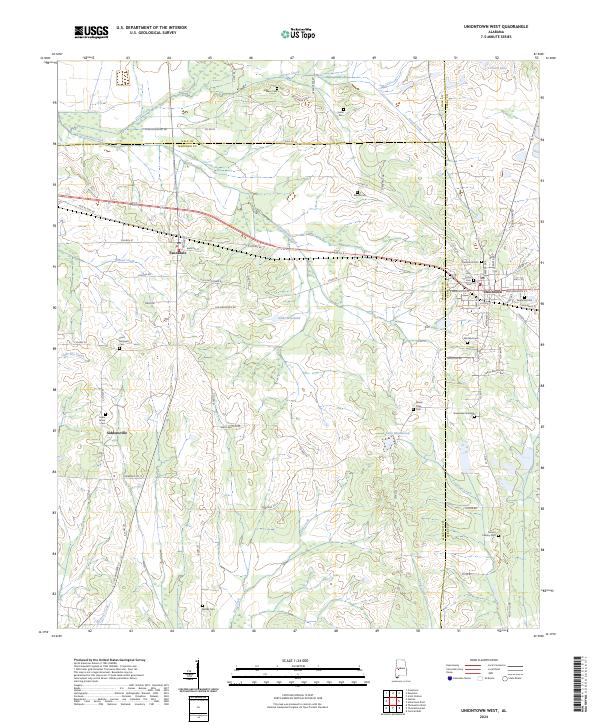
2024 Uniontown West
Marengo County, AL