
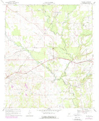
1968 Map of Safford
USGS Topo · Published 1971About this map
The town of Orrville and the winding course of Bogue Chitto Creek define this rural portion of Dallas County in the late 1960s. The landscape is structured by the intersection of the Louisville and Nashville and Southern railroads, which facilitated movement through small trackside stops like Eleanor, Martin, and Westbrook. These communities appear as clusters of rural life, anchored by a high density of country churches such as Rising Star Ch, True Vine Ch, and St Marys Ch.
Find a feature on this map
37 named features on this map. Tap any name to fly to it.
Don’t see what you’re looking for? This feature index may not catch every label — zoom into the map to look around manually.
Map Details
Editions of this 1968 Safford Map
2 editions found
Other maps of this area

1953 · Montgomery
USGS Topo · 1:250,000

1956 · Montgomery
USGS Topo · 1:250,000

1957 · Montgomery
USGS Topo · 1:250,000

1957 · Carlowville
USGS Topo · 1:62,500

1958 · Selma
USGS Topo · 1:62,500

1968 · Uniontown East
USGS Topo · 1:24,000

1968 · Browns
USGS Topo · 1:24,000

1968 · Central Mills
USGS Topo · 1:24,000

1974 · Crumptonia
USGS Topo · 1:24,000

1974 · Catherine
USGS Topo · 1:24,000