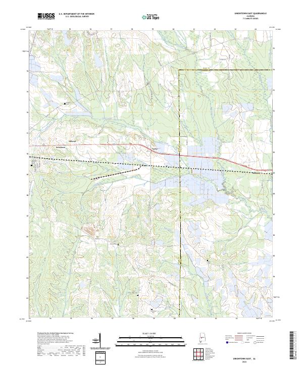
2024 Map of Uniontown East
USGS Topo · Published 2024About this map
Uniontown and the surrounding Perry County agricultural lands are defined by a network of slow-moving waterways and small rural settlements. The landscape is drained by Coffee Creek and Chintachee Creek, with the eastern terrain crossing into Dallas County. While Uniontown serves as the primary hub, smaller clusters of activity are visible at Tayloe, Hillcrest, and Bellevue. This 2024 survey documents the enduring layout of the rural road system, from the local Cane Brake St to the network of county routes like Co Rd 12. Genealogists will find several family and community burial grounds preserved across the landscape, including the centrally located Ellawhite Cem and more remote sites such as Living Hope Cem and Long Cem. These features reflect the long-standing community structures in this portion of the Alabama Black Belt.
Find a feature on this map
46 named features on this map. Tap any name to fly to it.
Don’t see what you’re looking for? This feature index may not catch every label — zoom into the map to look around manually.
Map Details
Editions of this 2024 Uniontown East Map
This is the sole edition of this map. No revisions or reprints were ever made.
Other maps of this area

1953 · Montgomery
USGS Topo · 1:250,000

1956 · Montgomery
USGS Topo · 1:250,000

1957 · Montgomery
USGS Topo · 1:250,000

1968 · Thomaston East
USGS Topo · 1:24,000

1968 · Uniontown West
USGS Topo · 1:24,000

1968 · Uniontown East
USGS Topo · 1:24,000

1968 · Browns
USGS Topo · 1:24,000

1968 · Safford
USGS Topo · 1:24,000

1968 · Central Mills
USGS Topo · 1:24,000

1979 · Scott Station
USGS Topo · 1:24,000