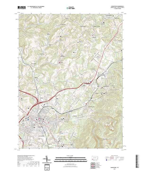
2023 Map of Uniontown
USGS Topo · Published 2023About this map
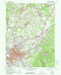
Uniontown serves as the focal point of this survey, anchored by the Fayette County Courthouse and a dense network of surrounding settlements. The map illustrates the contemporary suburban and industrial layout of the region, where older village names like Phillips, Oliver, and Lemont Furnace meet modern institutions such as Penn State Fayette. The geography is defined by the steep transition from the urban valley floor up toward the eastern ridge, where the Fort Necessity National Battlefield and the distinct Jumonville Rocks occupy the higher elevations. This landscape is also deeply marked by religious and genealogical history, featuring a high concentration of denominational burial grounds including the Historic Presbyterian Cem and the Saint Vincent DePaul Roman Catholic Cem, reflecting the diverse heritage of the coal and steel era population.
Find a feature on this map
127 named features on this map. Tap any name to fly to it.
Don’t see what you’re looking for? This feature index may not catch every label — zoom into the map to look around manually.
Map Details
Editions of this 2023 Uniontown Map
This is the sole edition of this map. No revisions or reprints were ever made.
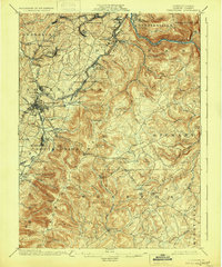
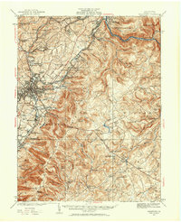
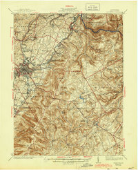
Historical Maps of Mahoning Through Time
5 maps found
Featured Locations
- Dunbar Township, PA
- Menallen Township, PA
- Uniontown, PA
- North Union Township, PA
- Juniata, Franklin Township