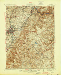
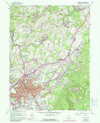
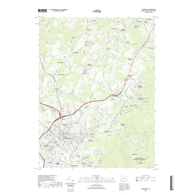
1939 Map of Uniontown
USGS Topo · Published 1944About this map
The industrial and revolutionary heritage of Fayette County is deeply etched into the landscape surrounding Uniontown. During the late 1930s, the region was defined by a dense network of extraction and production, including active furnace sites like Lemont Furnace, Oliphant Furnace, and Wharton Furnace. The presence of the Dupont Powder Plant and numerous numbered coal patch towns such as Oliver No 3 reflects the heavy reliance on the local mineral wealth. Transportation routes were dominated by the Pennsylvania RR and Baltimore and Ohio RR, which serviced the valley's manufacturing hubs while threading through the Chestnut Ridge.
Find a feature on this map
143 named features on this map. Tap any name to fly to it.
Don’t see what you’re looking for? This feature index may not catch every label — zoom into the map to look around manually.
Map Details
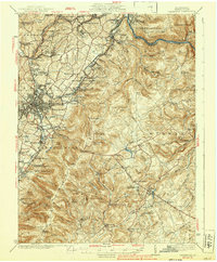
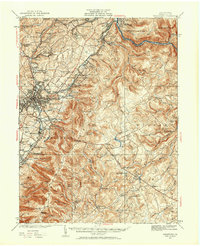
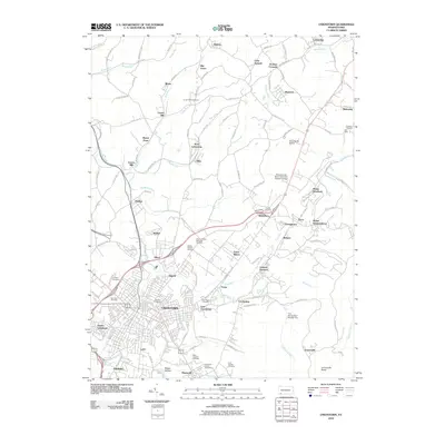
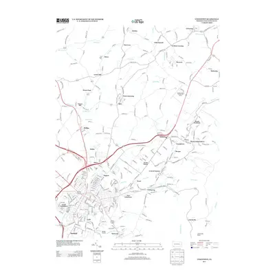
Editions of this 1939 Uniontown Map
2 editions found
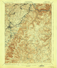
Historical Maps of Uniontown Through Time
9 maps found
Featured Locations
- Dunbar, PA
- South Connellsville, PA
- Uniontown, PA
- Chalkhill, Wharton Township
- Farmington, Wharton Township