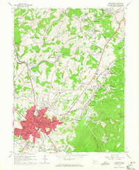
1963 Map of Uniontown
USGS Topo · Published 1965About this map
Uniontown anchors this landscape of industrial heritage and faith, centered around the Fayette county seat during the early 1960s. The map reveals a high concentration of parochial education and religious sites, from Mt Macrina Academy to St Johns Sch and Hope Chapel, reflecting the deep community roots of the local population. The economic character of the region is written into the terrain, where active and past industries are marked by a Strip Mine, Quarries, and the Mine Dump near Leisenring.
Find a feature on this map
121 named features on this map. Tap any name to fly to it.
Don’t see what you’re looking for? This feature index may not catch every label — zoom into the map to look around manually.
Map Details
Editions of this 1963 Uniontown Map
Other maps of this area

1900 · Uniontown
USGS Topo · 1:62,500

1900 · Masontown
USGS Topo · 1:62,500

1902 · Brownsville
USGS Topo · 1:62,500

1902 · Connellsville
USGS Topo · 1:62,500

1903 · Masontown
USGS Topo · 1:62,500

1906 · Brownsville
USGS Topo · 1:62,500

1931 · Brownsville
USGS Topo · 1:62,500

1931 · Connellsville
USGS Topo · 1:62,500

1931 · Uniontown
USGS Topo · 1:62,500

1931 · Masontown
USGS Topo · 1:62,500
Featured Places
- Uniontown, PA
- Menallen Township, PA
- Franklin Township, PA
- South Union Township, PA
- North Union Township, PA