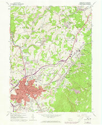
1963 Map of Uniontown
USGS Topo · Published 1973About this map
Uniontown serves as the focal point of this Fayette County survey, showing the city's dense residential grid and industrial surroundings during the mid-20th century. The landscape is heavily marked by extractive industry, with numerous gas wells and strip mines dotting the northern townships of Franklin and Dunbar. Transportation corridors like the Penn Central railroad and the Connellsville Airport facilitated the movement of coal and goods from local settlements like Lemont Furnace and Monarch.
Find a feature on this map
124 named features on this map. Tap any name to fly to it.
Don’t see what you’re looking for? This feature index may not catch every label — zoom into the map to look around manually.
Map Details
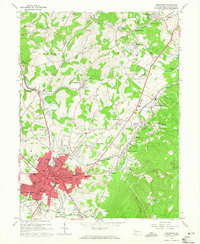
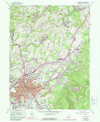
Editions of this 1963 Uniontown Map
Other maps of this area

1900 · Uniontown
USGS Topo · 1:62,500

1900 · Masontown
USGS Topo · 1:62,500

1902 · Brownsville
USGS Topo · 1:62,500

1902 · Connellsville
USGS Topo · 1:62,500

1903 · Masontown
USGS Topo · 1:62,500

1906 · Brownsville
USGS Topo · 1:62,500

1931 · Brownsville
USGS Topo · 1:62,500

1931 · Connellsville
USGS Topo · 1:62,500

1931 · Uniontown
USGS Topo · 1:62,500

1931 · Masontown
USGS Topo · 1:62,500
Featured Places
- Uniontown, PA
- Menallen Township, PA
- Franklin Township, PA
- South Union Township, PA
- North Union Township, PA