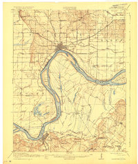
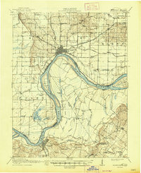
1917 Map of Uniontown
USGS Topo · Published 1929About this map
The Ohio River dominates this landscape where Kentucky and Indiana meet, carved by a network of complex oxbows and sloughs including Horse Lake, Fish Lake, and Pirogue Lake. The river's influence is evident in the placement of riverfront settlements like Uniontown and Mount Vernon, which served as critical transport nodes before the shift away from waterway-dependent commerce. The map reveals an exceptionally dense system of early 20th-century education, recording dozens of local institutions such as Brewer Hill School, Mt Vernon Ferry School, and Allens Chapel School.
Find a feature on this map
79 named features on this map. Tap any name to fly to it.
Don’t see what you’re looking for? This feature index may not catch every label — zoom into the map to look around manually.
Map Details
Editions of this 1917 Uniontown Map
6 editions found

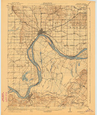
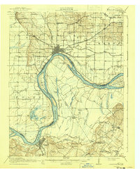
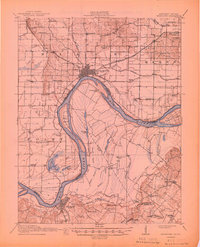
Other maps of this area

1901 · Haubstadt
USGS Topo · 1:62,500

1903 · Haubstadt
USGS Topo · 1:62,500

1903 · New Harmony
USGS Topo · 1:62,500

1903 · Patoka
USGS Topo · 1:125,000

1905 · New Haven
USGS Topo · 1:62,500

1906 · New Haven
USGS Topo · 1:62,500

1906 · Sebree
USGS Topo · 1:62,500

1907 · Morganfield
USGS Topo · 1:62,500

1914 · Henderson
USGS Topo · 1:48,000

1916 · Shawneetown
USGS Topo · 1:62,500