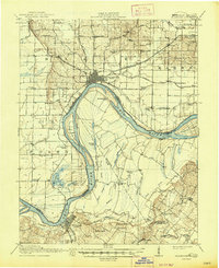
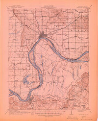
1917 Map of Uniontown
USGS Topo · Published 1947About this map
The Ohio River forms the central character of this riverine landscape, weaving between Indiana and Kentucky where it takes on a complex, shifting geography. The 1914 survey captures a moment when ferry transport and river navigation remained vital to the local economy, evidenced by the Mt Vernon Ferry School and the distinct separation of Slim Island and Diamond Island from the mainland. On the Kentucky shore, the town of Uniontown serves as a hub for the Illinois Central Morganfield Road, while the Indiana side is anchored by the larger settlement of Mount Vernon. The interior is dotted with numerous one-room schoolhouses and rural churches, such as Burbanks Chapel School and Cronback School, illustrating a dispersed agrarian society connected by a web of local roads and sloughs like Fishtrap Slough and Lake Drain.
Find a feature on this map
76 named features on this map. Tap any name to fly to it.
Don’t see what you’re looking for? This feature index may not catch every label — zoom into the map to look around manually.
Map Details
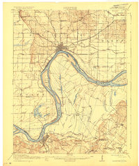
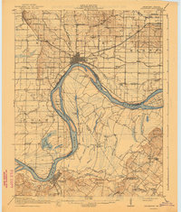
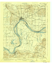
Editions of this 1917 Uniontown Map
6 editions found

Other maps of this area

1901 · Haubstadt
USGS Topo · 1:62,500

1903 · Haubstadt
USGS Topo · 1:62,500

1903 · New Harmony
USGS Topo · 1:62,500

1903 · Patoka
USGS Topo · 1:125,000

1905 · New Haven
USGS Topo · 1:62,500

1906 · New Haven
USGS Topo · 1:62,500

1906 · Sebree
USGS Topo · 1:62,500

1907 · Morganfield
USGS Topo · 1:62,500

1914 · Henderson
USGS Topo · 1:48,000

1916 · Shawneetown
USGS Topo · 1:62,500