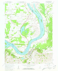
1958 Map of Uniontown
USGS Topo · Published 1959About this map
Uniontown anchors this riverfront landscape at a dramatic northward bend in the Ohio River, where the state line follows the water between Kentucky and Indiana. In the late 1950s, this region was defined by a complex network of wetlands and sloughs, including Hovey Lake, Pirogue Bayou, and Rattler Slough. The local economy is visibly driven by the extraction of natural resources, with numerous oil wells dotting the Indiana side north of the river and the Kentucky side near Highland Creek. Significant infrastructure of the era is preserved here, such as Dam No 49 (Mile 845) and the Illinois Central railroad line. Local history and genealogy interest is concentrated near the Uniontown Cem and Farmers Chapel, while the presence of a ferry and the Camp Breckinridge Pumping Sta BM highlights the river's role in transportation and regional utility.
Find a feature on this map
33 named features on this map. Tap any name to fly to it.
Don’t see what you’re looking for? This feature index may not catch every label — zoom into the map to look around manually.
Map Details
Editions of this 1958 Uniontown Map
2 editions found
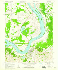
Other maps of this area

1905 · New Haven
USGS Topo · 1:62,500

1906 · New Haven
USGS Topo · 1:62,500

1907 · Morganfield
USGS Topo · 1:62,500

1916 · Shawneetown
USGS Topo · 1:62,500

1917 · Uniontown
USGS Topo · 1:62,500

1949 · Paducah
USGS Topo · 1:250,000

1949 · New Haven
USGS Topo · 1:62,500

1949 · Morganfield
USGS Topo · 1:24,000

1950 · Paducah
USGS Topo · 1:250,000

1951 · Waverly
USGS Topo · 1:24,000