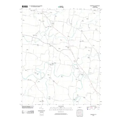
2010 Map of Unionville
USGS Topo · Published 2010About this map
The Duck River meanders through the southern half of this landscape, defining the topography with features like Shearin Bend and Tarpley Bluff. This area of Bedford County is characterized by a dense network of family and community burial grounds, reflecting generations of local history. Notable sites include the Bethlehem Cemetery, Pisgah Cemetery, and Mount Lebanon Cemetery. The civic heart of the region is centered at the Unionville Post Office and the adjacent Unionville Cemetery.
Find a feature on this map
112 named features on this map. Tap any name to fly to it.
Don’t see what you’re looking for? This feature index may not catch every label — zoom into the map to look around manually.
Map Details
Editions of this 2010 Unionville Map
This is the sole edition of this map. No revisions or reprints were ever made.
Other maps of this area
1936 · Chapel Hill
USGS Topo · 1:24,000
1936 · Farmington
USGS Topo · 1:24,000
1936 · Shelbyville
USGS Topo · 1:24,000
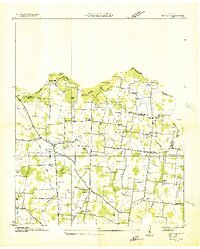
1936 · Rover
USGS Topo · 1:24,000
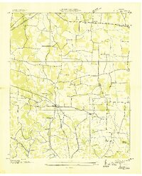
1936 · Belfast
USGS Topo · 1:24,000
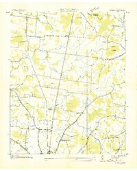
1936 · Deason
USGS Topo · 1:24,000
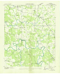
1936 · Unionville
USGS Topo · 1:24,000
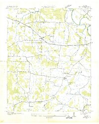
1936 · Bedford
USGS Topo · 1:24,000
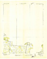
1936 · Fosterville
USGS Topo · 1:24,000
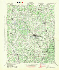
1944 · Shelbyville
USGS Topo · 1:100,000