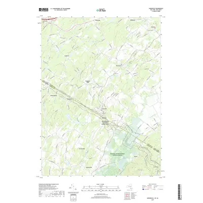
2019 Map of Unionville
USGS Topo · Published 2019About this map
Unionville and Westtown serve as the primary hubs in this agricultural and transition landscape along the New York and New Jersey border. The geography is defined by the winding course of the Wallkill River, which flows through the Wallkill River National Wildlife Refuge in the southeast. Higher elevations are marked by Kittatinny Mtn in the northwest and Pochuck Mtn to the south, with the Appalachian National Scenic Trail traversing the ridges and valleys between Mount Salem and Hanford.
Find a feature on this map
137 named features on this map. Tap any name to fly to it.
Don’t see what you’re looking for? This feature index may not catch every label — zoom into the map to look around manually.
Map Details
Editions of this 2019 Unionville Map
This is the sole edition of this map. No revisions or reprints were ever made.
Other maps of this area

1888 · Franklin
USGS Topo · 1:62,500

1891 · Greenwood Lake
USGS Topo · 1:62,500

1893 · Greenwood Lake
USGS Topo · 1:62,500

1894 · Franklin
USGS Topo · 1:62,500

1897 · Franklin
USGS Topo · 1:62,500

1903 · Franklin Furnace
USGS Topo · 1:62,500

1903 · Greenwood Lake
USGS Topo · 1:62,500

1906 · Port Jervis
USGS Topo · 1:62,500

1906 · Goshen
USGS Topo · 1:62,500

1908 · Goshen
USGS Topo · 1:62,500