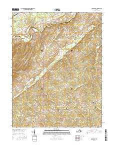
2016 Map of Unionville
USGS Topo · Published 2016About this map
Unionville and its surrounding rural communities occupy a landscape defined by the winding course of the Rapidan River, which serves as the boundary between Culpeper Co and Orange Co. The terrain is marked by significant topographical features such as Clark Mtn and the Culpeper Basin, while the settlement pattern is characterized by small junctions and hamlets like Rhoadesville, Verdiersville, and Raccoon Ford. Local history is preserved through a high density of small burial grounds, including Oakwood Cem and Palmyra Cem, which are scattered throughout the agricultural landscape. Transportation remains anchored by historical routes such as Raccoon Ford Rd and True Blue Rd, reflecting a traditional Virginian network of farms and crossroads near water bodies like Mountain Run and Black Walnut Run.
Find a feature on this map
94 named features on this map. Tap any name to fly to it.
Don’t see what you’re looking for? This feature index may not catch every label — zoom into the map to look around manually.
Map Details
Editions of this 2016 Unionville Map
This is the sole edition of this map. No revisions or reprints were ever made.
Other maps of this area
1887 · Spottsylvania
USGS Topo · 1:125,000
1892 · Spottsylvania
USGS Topo · 1:125,000
1892 · Gordonsville
USGS Topo · 1:125,000
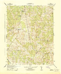
1942 · Lahore
USGS Topo · 1:31,680
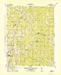
1942 · Belmont
USGS Topo · 1:31,680
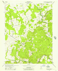
1943 · Germanna Bridge
USGS Topo · 1:24,000
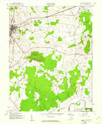
1943 · Culpeper
USGS Topo · 1:24,000
1943 · Mine Run
USGS Topo · 1:24,000
1943 · Unionville
USGS Topo · 1:24,000
1944 · Culpeper
USGS Topo · 1:31,680