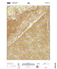
2019 Map of Unionville
USGS Topo · Published 2019About this map
The Rapidan River winds across the northern border of this Virginia landscape, separating the border of Culpeper and Orange counties. A network of rural communities, including Unionville, Rhoadesville, and Verdiersville, is connected by historically significant routes such as Raccoon Ford Rd and Old Office Rd. The area is characterized by high ground like Clark Mtn and Bushy Mountain, which overlook numerous creek systems including Mountain Run and Black Walnut Run. Family and community history is anchored in the many local burial grounds distributed across the quadrangle, from the Oakwood Cem in the south to Mount Pisgah Cem in the northeast. The presence of the Belmont Farm Airport and the distinct Culpeper Basin geological feature adds to the diverse character of this Piedmont terrain.
Find a feature on this map
99 named features on this map. Tap any name to fly to it.
Don’t see what you’re looking for? This feature index may not catch every label — zoom into the map to look around manually.
Map Details
Editions of this 2019 Unionville Map
This is the sole edition of this map. No revisions or reprints were ever made.
Other maps of this area
1887 · Spottsylvania
USGS Topo · 1:125,000
1892 · Spottsylvania
USGS Topo · 1:125,000
1892 · Gordonsville
USGS Topo · 1:125,000
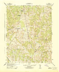
1942 · Lahore
USGS Topo · 1:31,680
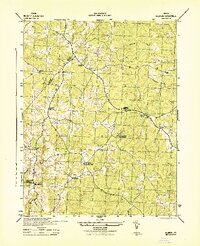
1942 · Belmont
USGS Topo · 1:31,680
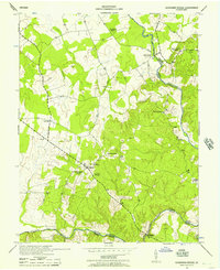
1943 · Germanna Bridge
USGS Topo · 1:24,000
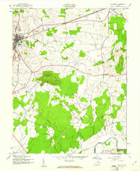
1943 · Culpeper
USGS Topo · 1:24,000
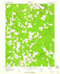
1943 · Mine Run
USGS Topo · 1:24,000
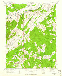
1943 · Unionville
USGS Topo · 1:24,000
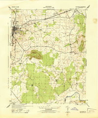
1944 · Culpeper
USGS Topo · 1:31,680