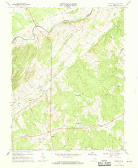
1968 Map of Unionville
USGS Topo · Published 1970About this map
Clark Mountain dominates the western topography of this Virginia landscape, where the Rapidan River forms the winding boundary between Orange and Culpeper counties. The 1960s terrain reflects a well-established agricultural and rural community centered on intersections like Unionville and Rhoadesville. Local life is anchored by numerous country churches, including Mt Pisgah Ch and St Pauls Ch, alongside community landmarks like the Unionville Sch and Oakwood Cem.
Find a feature on this map
42 named features on this map. Tap any name to fly to it.
Don’t see what you’re looking for? This feature index may not catch every label — zoom into the map to look around manually.
Map Details
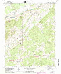
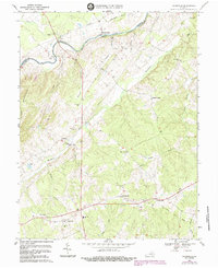
Editions of this 1968 Unionville Map
3 editions found
Other maps of this area

1887 · Spottsylvania
USGS Topo · 1:125,000

1892 · Spottsylvania
USGS Topo · 1:125,000

1892 · Gordonsville
USGS Topo · 1:125,000

1942 · Lahore
USGS Topo · 1:31,680

1942 · Belmont
USGS Topo · 1:31,680

1943 · Germanna Bridge
USGS Topo · 1:24,000

1943 · Culpeper
USGS Topo · 1:24,000

1943 · Mine Run
USGS Topo · 1:24,000

1943 · Unionville
USGS Topo · 1:24,000
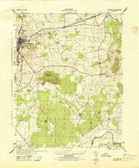
1944 · Culpeper
USGS Topo · 1:31,680