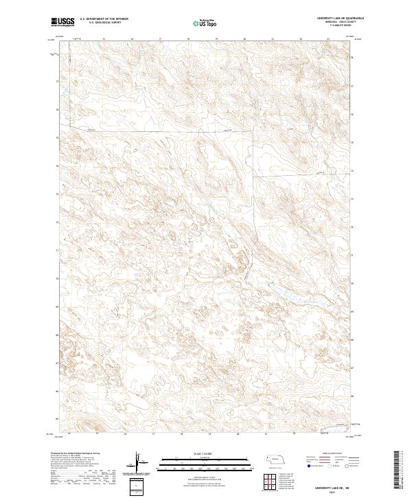
2021 Map of University Lake NE
USGS Topo · Published 2021About this map
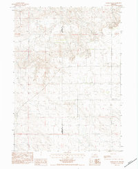
S Br Snake Cr winds through the high plains of Sioux County, carving a subtle drainage pattern across a landscape defined by its remote ranching character. This modern 2021 survey reveals a vast network of section lines and township boundaries, including t26n r54w and t26n r53w, which dictate the sparse road network. Essential local arteries like Morrill Rd and Watson Rd traverse the undulating terrain, following the long-established Public Land Survey System. The map captures the quiet, open-range geography of western Nebraska, where water sources like the south branch of the creek remain the primary landmarks for navigation and land management in an area largely devoid of concentrated settlements.
Find a feature on this map
8 named features on this map. Tap any name to fly to it.
Don’t see what you’re looking for? This feature index may not catch every label — zoom into the map to look around manually.
Map Details
Editions of this 2021 University Lake NE Map
This is the sole edition of this map. No revisions or reprints were ever made.
Other maps of this area

1899 · Whistle Creek
USGS Topo · 1:125,000

1951 · Marsland
USGS Topo · 1:62,500

1951 · Kilpatrick Lake
USGS Topo · 1:62,500

1955 · Alliance
USGS Topo · 1:250,000

1957 · Alliance
USGS Topo · 1:250,000

1958 · Alliance
USGS Topo · 1:250,000
1963 · University Lake
USGS Topo · 1:24,000
1983 · University Lake SE
USGS Topo · 1:24,000
1983 · Kilpatrick Lake NW
USGS Topo · 1:24,000
1983 · Marsland SW
USGS Topo · 1:24,000