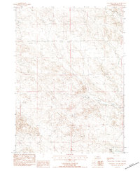
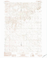
1983 Map of University Lake NE
USGS Topo · Published 1984About this map
The rolling dunes and western rangelands of Sioux County define this high-plains landscape in the early 1980s. Extensive Sand formations characterize the topography, which is shaped by the headwaters of the South Branch Snake Creek and the North Br Snake Creek. Human presence is sparse, centered on established pastoral operations such as the Elliott Ranch and the Henderson Ranch. A single Grave noted in the southern portion of the map provides a quiet point of interest for genealogists and local historians, while the drainage of Mud Spr Cr marks the eastern reach of the quadrangle. This survey illustrates the isolation and topographic character of the Nebraska panhandle prior to modern developments, showing how early ranching families navigated and settled the complex terrain of the Sandhills.
Find a feature on this map
9 named features on this map. Tap any name to fly to it.
Don’t see what you’re looking for? This feature index may not catch every label — zoom into the map to look around manually.
Map Details
Editions of this 1983 University Lake NE Map
This is the sole edition of this map. No revisions or reprints were ever made.
Other maps of this area

1899 · Whistle Creek
USGS Topo · 1:125,000

1951 · Marsland
USGS Topo · 1:62,500

1951 · Kilpatrick Lake
USGS Topo · 1:62,500

1955 · Alliance
USGS Topo · 1:250,000

1957 · Alliance
USGS Topo · 1:250,000

1958 · Alliance
USGS Topo · 1:250,000
1963 · University Lake
USGS Topo · 1:24,000
1983 · University Lake SE
USGS Topo · 1:24,000
1983 · Kilpatrick Lake NW
USGS Topo · 1:24,000
1983 · Marsland SW
USGS Topo · 1:24,000