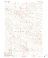
1983 Map of University Lake NW
USGS Topo · Published 1984About this map
Spottedtail Creek winds through the southern landscape of this Sioux County region, anchoring a terrain defined by established cattle operations and rural infrastructure in the early 1980s. This survey, compiled from 1975 aerial photography and field-checked in 1981, reveals a network of homesteads such as the Johnson Ranch and Murphy Ranch that dot the high plains. The presence of a major Transmission Line with a mix of Wooden Pole and Steel Tower construction highlights the modernization of utility access across these sprawling sections. From the Star-D Ranch in the north down to the Spear-Diamond Ranch, the map documents the persistent ranching legacy of the Nebraska panhandle, illustrating how water sources and section lines dictated the placement of these remote family-run enterprises.
Find a feature on this map
10 named features on this map. Tap any name to fly to it.
Don’t see what you’re looking for? This feature index may not catch every label — zoom into the map to look around manually.
Map Details
Editions of this 1983 University Lake NW Map
This is the sole edition of this map. No revisions or reprints were ever made.
Other maps of this area

1899 · Whistle Creek
USGS Topo · 1:125,000

1955 · Alliance
USGS Topo · 1:250,000

1957 · Alliance
USGS Topo · 1:250,000

1958 · Alliance
USGS Topo · 1:250,000
1963 · Erdman Ranch
USGS Topo · 1:24,000
1963 · University Lake
USGS Topo · 1:24,000

1979 · Mount Edna
USGS Topo · 1:24,000
1983 · University Lake SE
USGS Topo · 1:24,000
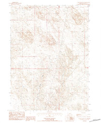
1983 · Chalk Buttes NE
USGS Topo · 1:24,000
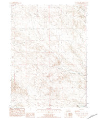
1983 · University Lake NE
USGS Topo · 1:24,000