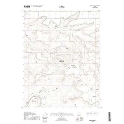
2020 Map of Upheaval Dome
USGS Topo · Published 2020About this map
Canyonlands National Park dominates this terrain, centered on the enigmatic circular structure of Upheaval Dome. The landscape is defined by massive erosional features and deep incisions, where the Green River carves through Stillwater Canyon along the western edge of the survey. Higher elevations like the Island in the Sky plateau provide dramatic vantage points such as the Green River Overlook. A network of primitive routes and footpaths, including the Syncline Loop Trail and the White Rim Road, provides access to the interior of this isolated region. To the south and east, the map details geological landmarks like Candlestick Tower and Aztec Butte, while lower basins such as Potato Bottom Basin and Valentine Bottom mark the habitable fringes near the river. This modern topographic study illustrates the complex drainage patterns of Taylor Canyon and Trail Canyon as they feed toward the deep river gorges.
Find a feature on this map
44 named features on this map. Tap any name to fly to it.
Don’t see what you’re looking for? This feature index may not catch every label — zoom into the map to look around manually.
Map Details
Editions of this 2020 Upheaval Dome Map
This is the sole edition of this map. No revisions or reprints were ever made.
Other maps of this area

1885 · San Rafael
USGS Topo · 1:250,000

1885 · La Sal
USGS Topo · 1:250,000

1951 · The Knoll
USGS Topo · 1:62,500

1951 · Upheaval Dome
USGS Topo · 1:62,500

1952 · Tidwell 4 SE
USGS Topo · 1:24,000

1952 · Carlisle 2 SE
USGS Topo · 1:24,000

1952 · Carlisle 2 NW
USGS Topo · 1:24,000

1952 · Moab 3 SE
USGS Topo · 1:24,000

1952 · Carlisle 2 NE
USGS Topo · 1:24,000

1952 · Carlisle 2 SW
USGS Topo · 1:24,000