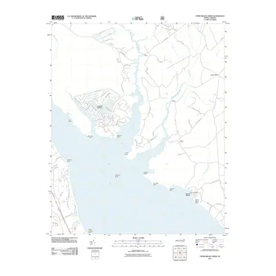
2011 Map of Upper Broad Creek
USGS Topo · Published 2011About this map
The Neuse River dominates the southern half of this landscape, its wide mouth punctuated by numerous named landmarks such as McCotter Point and Fisher Landing Point. The dense network of residential streets in Fairfield Harbour contrasts with the surrounding wetlands and traditional river landings. To the east, Upper Broad Creek and Goose Creek snake through the low-lying terrain, with Alexander Swamp filling the spaces between these waterways. Historically significant points like Lees Landing and the Cayton Cemetery reflect the long-standing human presence in this coastal environment. The map details a transition from the structured maritime community near Northwest Creek to more dispersed rural features like Scotts Store and the shoreline at Kennel Beach, offering a comprehensive look at the maritime and rural geography of eastern Craven County.
Find a feature on this map
88 named features on this map. Tap any name to fly to it.
Don’t see what you’re looking for? This feature index may not catch every label — zoom into the map to look around manually.
Map Details
Editions of this 2011 Upper Broad Creek Map
This is the sole edition of this map. No revisions or reprints were ever made.
Other maps of this area

1901 · New Bern
USGS Topo · 1:62,500

1903 · New Bern
USGS Topo · 1:62,500

1942 · Maysville
USGS Topo · 1:62,500

1948 · Maysville
USGS Topo · 1:62,500

1949 · Havelock
USGS Topo · 1:24,000

1949 · Cherry Point
USGS Topo · 1:24,000

1950 · New Bern
USGS Topo · 1:24,000

1950 · Upper Broad Creek
USGS Topo · 1:24,000

1950 · Arapahoe
USGS Topo · 1:24,000

1951 · Arapahoe
USGS Topo · 1:24,000