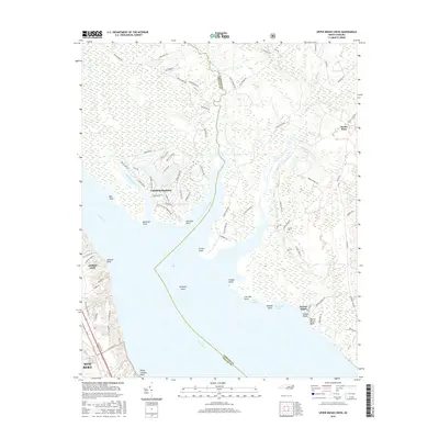
2016 Map of Upper Broad Creek
USGS Topo · Published 2016About this map
The confluence of the Neuse River and Upper Broad Creek defines this coastal landscape on the border of Pamlico Co and Craven Co. This 2016 survey illustrates the extensive planned residential development of Fairfield Harbour, characterized by its man-made basins and winding streets along Northwest Creek. In contrast to the modern layout of the harbor, the rural interior to the east retains more traditional land-use patterns, including the Cayton Cem and the crossroads at Scotts Store. Low-lying wetlands like Gaston Swamp and Alexander Swamp dominate the eastern reaches, while numerous named points such as McCotter Point, Rowland Point, and Myrtle Marsh Point line the jagged shoreline. Navigation features like Hampton Shoal and the various bays, including Live Oak Bay and Carraway Bay, indicate the area's deep connection to the water.
Find a feature on this map
87 named features on this map. Tap any name to fly to it.
Don’t see what you’re looking for? This feature index may not catch every label — zoom into the map to look around manually.
Map Details
Editions of this 2016 Upper Broad Creek Map
This is the sole edition of this map. No revisions or reprints were ever made.
Other maps of this area
1901 · New Bern
USGS Topo · 1:62,500
1903 · New Bern
USGS Topo · 1:62,500
1942 · Maysville
USGS Topo · 1:62,500
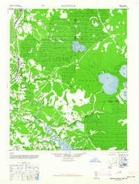
1948 · Maysville
USGS Topo · 1:62,500
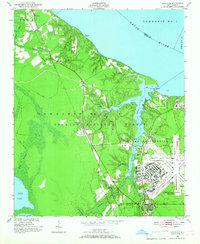
1949 · Havelock
USGS Topo · 1:24,000
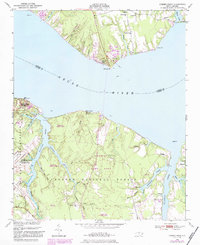
1949 · Cherry Point
USGS Topo · 1:24,000
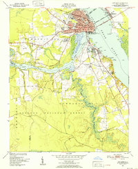
1950 · New Bern
USGS Topo · 1:24,000
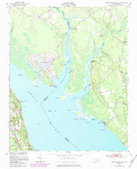
1950 · Upper Broad Creek
USGS Topo · 1:24,000
1950 · Arapahoe
USGS Topo · 1:24,000
1951 · Arapahoe
USGS Topo · 1:24,000