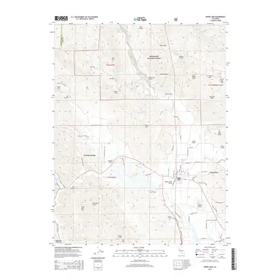
2015 Map of Upper Lake
USGS Topo · Published 2015About this map
Upper Lake sits at the junction of several valley systems in this Lake County survey, serving as a focal point for the surrounding agricultural and wild landscapes. To the west, Saratoga Springs and Bachelor Valley represent long-established settlement areas near the foothills of the Mayacmas Mountains. The terrain transitions from the alluvial floors of Middle Creek Valley and Clover Valley into the steep, ridge-dominated land of the Mendocino National Forest, where peaks like Youngs Peak and Sleeper Peak overlook the northern reaches of the Clear Lake basin.
Find a feature on this map
95 named features on this map. Tap any name to fly to it.
Don’t see what you’re looking for? This feature index may not catch every label — zoom into the map to look around manually.
Map Details
Editions of this 2015 Upper Lake Map
This is the sole edition of this map. No revisions or reprints were ever made.
Other maps of this area
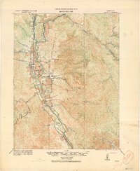
1920 · Ukiah
USGS Topo · 1:62,500
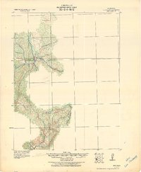
1922 · Hullville
USGS Topo · 1:62,500
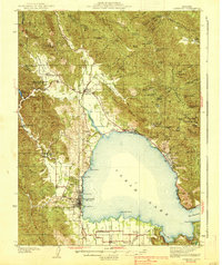
1938 · Lakeport
USGS Topo · 1:62,500
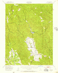
1943 · Pomo
USGS Topo · 1:62,500
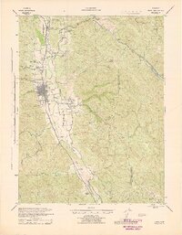
1944 · Ukiah
USGS Topo · 1:62,500
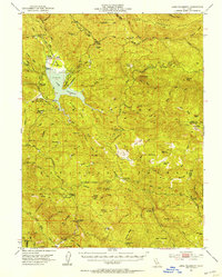
1951 · Lake Pillsbury
USGS Topo · 1:62,500
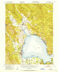
1951 · Lakeport
USGS Topo · 1:62,500
1957 · Ukiah
USGS Topo · 1:250,000
1958 · Purdys Gardens
USGS Topo · 1:24,000
1958 · Cow Mountain
USGS Topo · 1:24,000